
What is recorded here
Five-arch bridge over river, extant 1837. Widened, 1939-40. Coursed or snecked limestone wall (north) between benchmark-inscribed margined tooled limestone ashlar panelled piers with cut-limestone corbelled stepped stringcourse supporting parapet having margined tooled cut-limestone rounded coping; reinforced concrete wall (south) on mass concrete piers on monolithic plinths with cast concrete rounded coping to parapets. Series of five round arches (north) with rusticated limestone ashlar block-and-start voussoirs centred on rusticated cut-limestone keystones. Series of five segmental arches between mass or reinforced concrete piers (south) with cut-limestone archivolts or voussoirs. Sited spanning Owennacurra River with unkempt banks to river.
A bridge representing an important component of the civil engineering heritage of Midleton with the architectural value of the composition, one most likely erected in connection with the 'great improvements made since the year 1824...[including] a new line of road forming a handsome western entrance [to the town]' (Lewis 1837 II, 368), confirmed not only by the deep blue limestone dressings demonstrating good quality workmanship, but also by the elegant "sweep" of the arches making a pleasing visual statement at a crossing over the Owennacurra River: meanwhile, a benchmark remains of additional interest for the connections with cartography and the preparation of maps by the Ordnance Survey (established 1824). NOTE: The bridge shows evidence of at least three phases of construction with the downriver side displaying superimposed arches: the round arches of the nineteenth-century bridge with their monolithic corbels originally supporting the timber centring; the segmental arches of an eighteenth-century bridge mapped by Taylor and Skinner (1778 pl. 126) and photographed by Eason and Company (NLI/EAS_0937); and the wholly utilitarian reinforced concrete structure by Cork County Council (Cork County Council Minute Books 1938-40).
This does not grant access. Most recorded buildings are privately owned; view them only from public ground unless the owner allows entry.
Places near here
 Nellie Cashman MonumentMemorial · 57 yd
 Midleton IRA MonumentMemorial · 105 yd
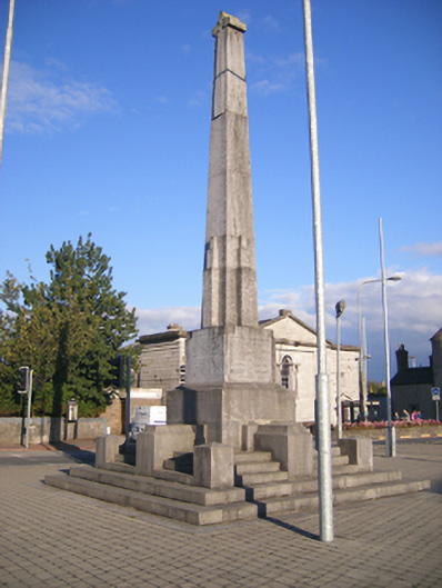 Clonmult Monumentmonument · 105 yd
 Allied Irish Bankbank/financial institution · 130 yd
 Grave YardGraveyard · 372 yd
 District HomeWorkhouse · 382 yd
 Jameson Distillery MidletonHeritage attraction · 680 yd
 Noel Collins BridgeVisitor information · 1334 yd
 Castle Redmond (Site of)Castle, unclassified · 1518 yd
 Ballyannan (Bluebell) WoodsForest · 1.1 mi
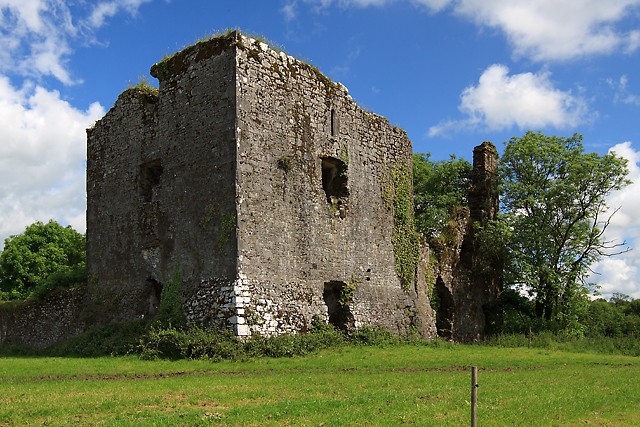 Cahermone Castle (in Ruins)Castle, tower house · 1.1 mi
 Curragh WoodsWood · 2.5 mi
Other information
Photo: MonikaLisa2 · CC BY-SA 4.0