What is recorded here
The following description is derived from the published 'Archaeological Inventory of County Carlow' (Dublin: Stationery Office, 1993). In certain instances the entries have been revised and updated in the light of recent research.
Date of upload/revision: 17 July 2007
Large, disturbed rectangular area (60m N-S, 30m E-W) enclosed by a massive but defaced bank. Traces of fosse visible outside bank at S. Traces of entrance visible at midpoint of bank at W.
The monument record does not grant public access. Check the route and ask the landowner before entering private land.
- What survives
- Recorded monument
Places near here
 Enclosure in Coolmanagh UpperEnclosure · 795 yd
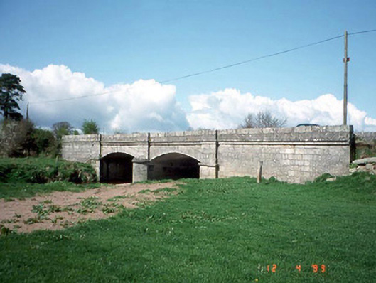 Saulsford Bridgebridge · 1265 yd
 Hilltop enclosure in ConstablehillHilltop enclosure · 1.1 mi
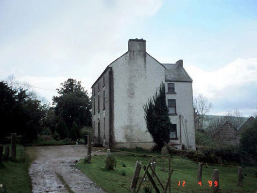 Woodside Househouse · 1.6 mi
 Site of CastleCastle, unclassified · 1.9 mi
 Eagle HillMountain / peak · 2.0 mi
 Clonmore Castle (in Ruins)Castle, Anglo-Norman masonry castle · 2.3 mi
 Acaun Church (in ruins), GraveyardChurch · 2.5 mi
 Church (in ruins), GraveyardChurch · 2.8 mi
 European BeechEuropean Beech · 3.2 mi
 Sessile OakSessile Oak · 3.4 mi
 Ballycumber HillMountain / peak · 5.9 mi