What is recorded here
In pasture just off the E summit of a low ridge. Recorded as a circular enclosure and labelled ‘Coolkehan’ on the first (1837) and Cassini (1920) editions of the OS 6-inch map. An almost circular area (int. diams. 34m N–S; 32m E–W) is enclosed by an overgrown round-topped earthen bank (int. H 0.1m at E to 1m at N; Wth 4m at S to 8m elsewhere; ext. H 1.7m–2.2m) and a flat-bottomed outer fosse (D 0.6m; Wth 1.5m at N to 2m at E). A gap (Wth 3m) in the enclosing bank at WSW may be an original entrance. The partly rush-covered interior slopes down slightly towards the E and a later field boundary shown running WNW-ESE across the S interior on the first edition (1837) of the OS 6-inch map has been removed. This map also records a ‘Cave’ (a possible Man-made underground passage – MA070-119002-) in the SW sector of the interior. A ringfort (MA070-120----) lies c. 185m to the NE.
Date of visit: 13-5-2025
Compiled by: Gearóid Conroy
A local fairy fort (ringfort/rath); wider significance not recorded.
This remains an important historical record, but the official description says the monument is no longer visible or has been destroyed. The monument record does not grant public access. Check the route and ask the landowner before entering private land.
- What survives
- No visible remains or recorded as destroyed
Places near here
 IndicatedFairy fort / earthen ringfort · 682 yd
 Ashbrook Housefarm house · 1694 yd
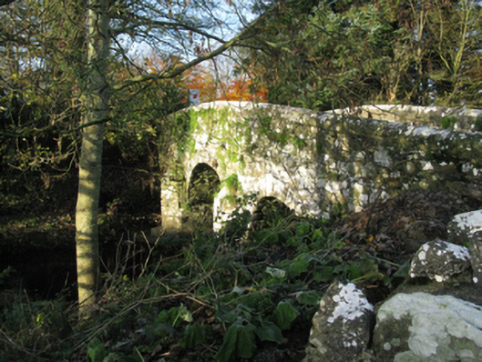 bridgebridge · 1736 yd
 Laughkeeraun WellHoly well · 1.2 mi
 Castle (in Ruins)Castle, motte · 1.5 mi
 Corraun CastleCastle · 1.5 mi
 Oak WoodWood · 3.3 mi
 National Museum of Ireland, Country LifeMuseum · 3.6 mi
 Sunken GardenWood · 3.7 mi
 Thorn CaveCave · 6.1 mi
 I'll Send You The FareMemorial · 6.6 mi
 Kiltimagh MuseumMuseum · 6.8 mi