What is recorded here
Situated along the S edge of a heavily overgrown ecclesiastical enclosure (CL007-003001-), on the S crest of a low E–W in cleared improved pasture. Indicated and named ‘Convent (in ruins)’ on the 1842 and 1915 eds. of the OS 6-inch maps. A ruined building defined by a mass of tumbled stone (12m NW–SE; 8m NE-SW).
A children’s burial ground (CL007-003003-) lies immediately SE and a church (CL007-003004-) lies 10m to the NW. A holy well (CL007-002----) lies c. 70 to the WNW.
Compiled by: Mary Tunney and Ros Ó Maoldúin
Date of upload: 30 September 2021
The monument record does not grant public access. Check the route and ask the landowner before entering private land.
- What survives
- Recorded monument
Places near here
 IndicatedChurch · 25 yd
 ToheracollureRuins · 55 yd
 ToberacollureHoly well · 57 yd
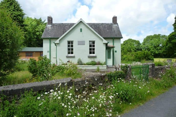 Enclosure in CushacorraEnclosure · 430 yd
 Grave of Saint Mac Duagh's ServantArchaeological place · 2.0 mi
 Cloonselherny Castle (in ruins)Castle, tower house · 2.3 mi
 Cappagh CastleCastle · 2.6 mi
 Kilnaloone GraveyardArchaeological place · 2.6 mi
 Kilmacduagh Monastic SiteVisitor information · 3.1 mi
 Kilmacduagh MonasteryHeritage attraction · 3.1 mi
 Slieve RoeMountain / peak · 4.2 mi
 Coole-Garryland Nature ReserveNature reserve · 4.3 mi