
What is recorded here
Constab Bk stood at the east end of Killeagh as a three-storey police barracks by 1842, its date plaque still showing only 17.. while men lived and worked behind the porch-obscured door. In the early 1920s fire took part of it, leaving the gabled roof, end chimneys and rear additions to mark what remained. The building may have been fear, pride or simply a place to keep order, but it was real enough to burn and be remembered.
Indicated on 1842 OS 6-inch map as Police Barracks at E end of Killeagh. Front (E) 3-storey, 5-bay; central rectangular doorway obscured by porch; stringcourse between ground and 1st floors. Gabled roof with end chimneys. Additions to rear. Date plaque on front wall '17..'. According to local information barracks was partially destroyed by fire in early 1920s.
The above description is derived from the published 'Archaeological Inventory of County Cork. Volume 2: East and South Cork' (Dublin: Stationery Office, 1994). In certain instances the entries have been revised and updated in the light of recent research.
Date of upload/revision: 14 January 2009
The monument record does not grant public access. Check the route and ask the landowner before entering private land.
- What survives
- Recorded monument
Places near here
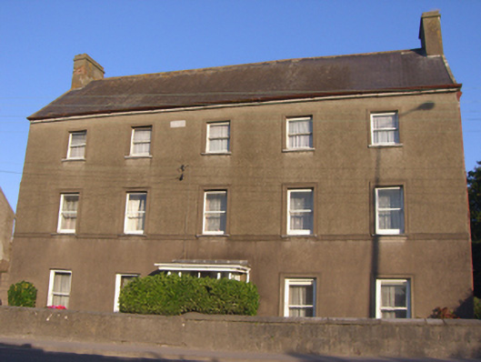 Greywoodhouse · 27 yd
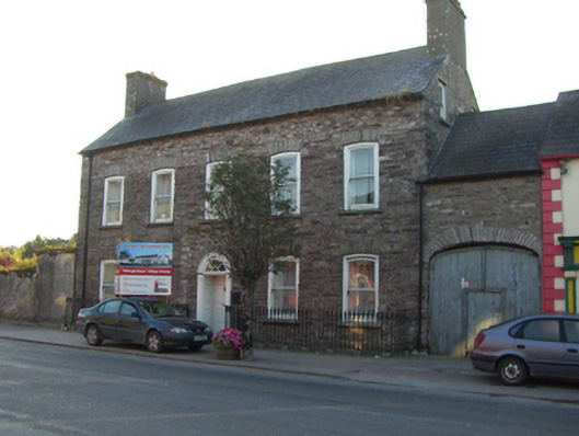 Killeagh Househouse · 49 yd
 St. Abbans Nunnery (Site of)Ecclesiastical site · 362 yd
 Historical Graveyard InformationVisitor information · 377 yd
 Farrells WellHoly well · 462 yd
 Fainin's WellSpring · 1276 yd
 Castle (in Ruins)Castle, unclassified · 1477 yd
 Glenbower WoodForest · 1.3 mi
 Inchiquin Castle (in Ruins)Castle, Anglo-Norman masonry castle · 2.4 mi
 William Heffernan MemorialMemorial · 3.3 mi
 Mitchell's WoodWood · 3.7 mi
 Glebe IslandIslet · 4.2 mi
Other information
Photo: b-unicycling · CC-BY-SA-4.0