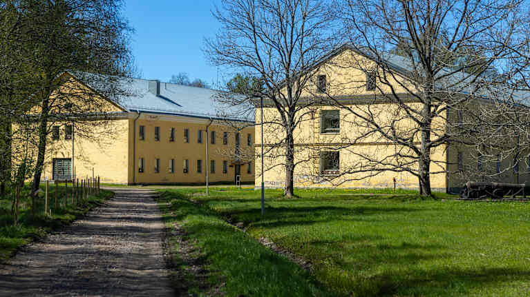
What is recorded here
Indicated on the 1st (1839) ed. OS 6-inch map as a circular enclosure (diam. c. 45m) surrounded by an outer enclosure (overall diam. c. 95m) which is roughly concentric with the inner enclosure, though the distance between the inner and outer enclosing element varies between 15-25m. A farm trackway is indicated running NW-SE through the SSE portion of the outer enclosure and up to the SSE perimeter of the inner enclosure, with a field boundary running NW-SE from the trackway within the outer enclosure and joining the perimeter of the inner enclosure in the WSW sector. On the 1899-1902 revision of the OS 6-inch map only the inner enclosure is indicated suggesting that the outer enclosure had been levelled by c. 1900. The faint trace of the outer enclosure is visible on satellite imagery, on which the inner enclosure is visible as being heavily overgrown with trees and scrub. Another enclosure (KK024-073----) is located c. 90m to the NE.
Compiled by: Jean Farrelly
Date of upload: 6 October 2021
A local fairy fort (ringfort/rath); wider significance not recorded.
The monument record does not grant public access. Check the route and ask the landowner before entering private land.
- What survives
- Recorded monument
Places near here
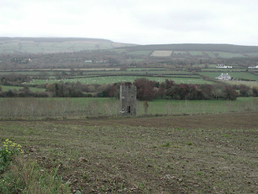 David's Wellunknown · 197 yd
 barnbarn · 457 yd
 IndicatedEnclosure · 613 yd
 CastleCastle, motte · 877 yd
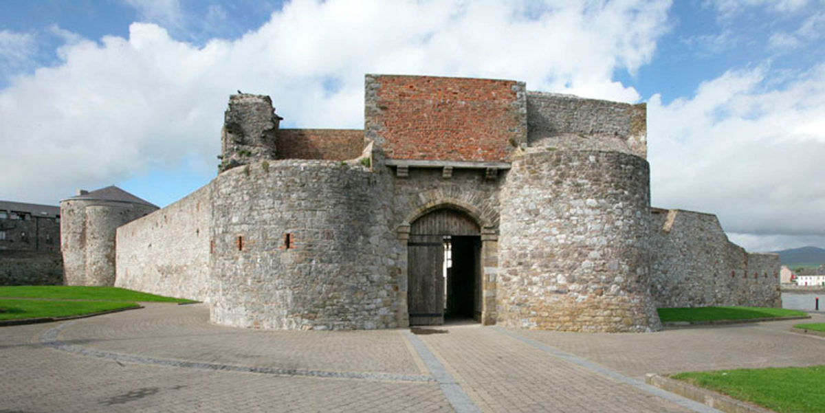 Site of Dungarvan CastleCastle, tower house · 1019 yd
 Enclosure in Crowbally (gowran By.)Enclosure · 1080 yd
 Ruins of CorbettsWood · 1701 yd
 Red BogForest · 1.1 mi
 Tullaherin Church and Round TowerVisitor information · 1.3 mi
 Stroan FountainVisitor information · 1.5 mi
 Kilbline GraveyardArchaeological place · 2.3 mi
 Time CapsuleMemorial · 3.6 mi
Other information
Photo: Credit not shown in the picture search · Rights wording not checked; contact us if this picture should be removed