What is recorded here
A concentric enclosure (diam. of inner enclosure c. 45m; overall diam. c. 80-90m) identified as a cropmark on aerial photographs (ASIAP (18) 0-6, 2 August 1996). There is a gap of c. 20-25m between the inner and outer enclosure. The 1st (1840_ ed. OS 6-inch map indicates three small ponds (diam. c. 15-20m) immediately E and W of the enclosure. A field boundary, along which the ponds are located, runs ENE-WSW through the N portion of the monument. The cropmark does not show up N of this field boundary.
See attached:
KK024-140----_01 ASIAP (18) 3, August 1996
Compiled by: Jean Farrelly
Date of upload: 10 November 2021
The monument record does not grant public access. Check the route and ask the landowner before entering private land.
- What survives
- Recorded monument
Places near here
 Burnchurch Housefarmyard complex · 317 yd
 Enclosure in Bennettsbridge (shillelogher By.)Enclosure · 394 yd
 Black WalnutBlack Walnut · 433 yd
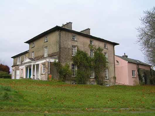 Maiden Hallcountry house · 506 yd
 MarlowWood · 848 yd
 Enclosure in AnnamultEnclosure · 910 yd
 Time CapsuleMemorial · 1547 yd
 Tower (in ruins)Bawn · 1.1 mi
 Annamult Castle (in ruins)Castle, tower house · 1.1 mi
 O'Gorman's Lane LoopWalking route · 1.3 mi
 Kilbline GraveyardArchaeological place · 1.8 mi
 Tullaherin Church and Round TowerVisitor information · 2.8 mi