What is recorded here
In tillage. Visible on Bing Maps Aerial view (pers. comm. P. Reid) as a circular area (est. diam. c. 65m) enclosed in a larger almost square area (est. L c.120m; Wth c. 120m) both defined by the cropmarks of back-filled fosses. Cropmark visible on Google Earth aerial imagery dating 28/06/2018
See attached image taken from Google Earth based on details kindly provided by Anthony Murphy
Compiled by: Gearóid Conroy
Revised by: Caimin O'Brien
Date of revised upload: 18 February 2019
The monument record does not grant public access. Check the route and ask the landowner before entering private land.
- What survives
- Recorded monument
Places near here
 Enclosure in ClogorrowEnclosure · 107 yd
 EnclosureEnclosure, large enclosure · 418 yd
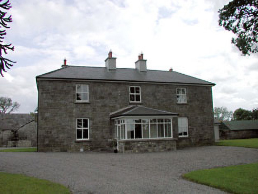 Sawyerswood Housefarm house · 828 yd
 Church in GeraldineChurch · 1.1 mi
 Scots PineScots Pine · 1.5 mi
 Bawn in Townparks (athy West Urban Ed)Bawn · 2.0 mi
 Woodstock Castle (in Ruins)Castle, hall-house · 2.0 mi
 Derryvullagh IslandForest · 2.0 mi
 Athy War MemorialMemorial · 2.1 mi
 History of Moat of ArdscullVisitor information · 2.2 mi
 Gorden Bennet Race memorialMemorial · 2.2 mi
 Town HallMuseum · 2.3 mi