
What is recorded here
From OpenStreetMap (© OpenStreetMap contributors) n13931414103
Places near here
Photo credits
- Maker not stated on source page, en.wikipedia.org
- Albert Bridge, Geograph · CC BY-SA 2.0
- Albert Bridge, Wikimedia Commons · CC BY-SA 2.0
- Rossographer, Wikimedia Commons
- Albert Bridge, Wikimedia Commons
- Oliver Dixon, Wikimedia Commons · CC BY-SA 2.0
- Maker not stated on source page, www.airbnb.ca
- Maker not stated on source page, www.dreamstime.com
- Unknown author Unknown author, Wikimedia Commons · CC0
- Golfing in Ireland; photographer not stated, Source publisher
 Con O'Neill BridgeHistoric bridge · 2 yd
Explorer Tom Con O'Neill Bridge would describe the 1800s to a teenager as 'great times, terrible shoes' if it could talk, which is…
 The HollowWood · 76 yd
Explorer Tom The Hollow in County Down listens hard to the walls, convinced it can hear the ghosts arguing about whether the rain…
 Owen O'Cork MillShop · 173 yd
Explorer Tom Owen O'Cork Mill in Ballyhackamore is now a shop, which is basically a mill for selling things instead of grain. A…
 St Donard's Church of Ireland ChurchChurch · 388 yd
Explorer Tom St Donard's Church of Ireland Church in Ballyhackamore is a Grade B1 listed building from the early 1900s, and if you…
 Connswater Community GreenwayWalking route · 681 yd
Explorer Tom Connswater Community Greenway threads through east Belfast beside the Connswater, Knock and Loop rivers, stitching…
 EastSide Visitor CentreVisitor information · 808 yd
Explorer Tom EastSide Visitor Centre stands beside Belfast's Narnia-themed public square on Newtownards Road, a handy doorway into…
 Mr TumnusStatue · 816 yd
Explorer Tom Mr Tumnus in County Down was invented by a local who swore he met him in a dream. He stands there looking confused…
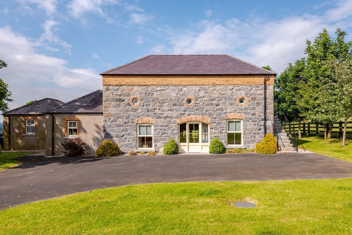 Stone TableSculpture · 830 yd
Explorer Tom Stone Table in County Down is officially in charge because a very confident terrier decided to nap on its corner last…
 Church and graveyard: ballymacarrett methodist church in BallymacarrettChurch and Graveyard: Ballymacarrett Methodist Church · 1061 yd
Explorer Tom Ballymacarrett Methodist Church has seen some serious drama in those pews. I bet there was a dance that went way too…
 Battle of St Matthew'sMajor battlefield · 1453 yd
Explorer Tom Battle of St Matthew's is a major site in County Down with nothing but a map point to show for its glory. Go on a wet…
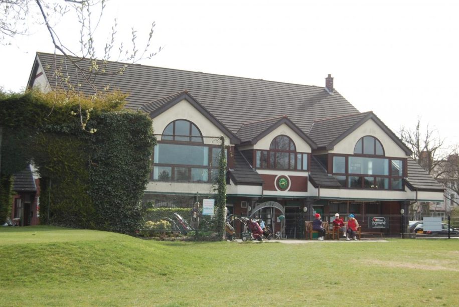 Ormeau Golf ClubGolf course · 1.2 mi
 The Belfast BuoysVisitor information · 1.3 mi
Explorer Tom The Belfast Buoys have a secret talent for looking incredibly smug while bobbing around in the water, acting like…
More archaeology and monuments in County Down · All of County Down

What do you know about this place?Tap to add a comment or ask a question