What is recorded here
Kilmore holds a collapsed underground passage beside an unenclosed early medieval settlement, proving that people once shaped the land before decay took the work back. The passage may have been a tunnel, a shelter or a forgotten route, but its collapse removed the chance to know which. The settlement remains unenclosed, suggesting openness rather than defence, while the lost passage reminds that even human-made depth can surrender to time.
The official Northern Ireland record identifies this as Collapsed Man-made underground passage and unenclosed early medieval settlement. Recorded period: E.CHRIST.. The official map point was placed at the centre of the recorded archaeological site from the source map reference.
The monument record does not grant public access. Check the route and ask the landowner before entering private land.
- What survives
- Recorded monument
Places near here
 ENCLOSURE in ClankilvoraghENCLOSURE · 1444 yd
 ENCLOSURE in DerrylisnahavilENCLOSURE · 1.1 mi
 Brownlow HouseMuseum · 1.4 mi
 Lurgan War MemorialMemorial · 1.7 mi
 Carnegie LibraryLibrary · 1.7 mi
 Ellis GutBay · 1.8 mi
 CASTLE (site of): MOIRA CASTLE in RiskCASTLE (site of): MOIRA CASTLE · 3.1 mi
 Waringstown Red WoodsForest · 3.3 mi
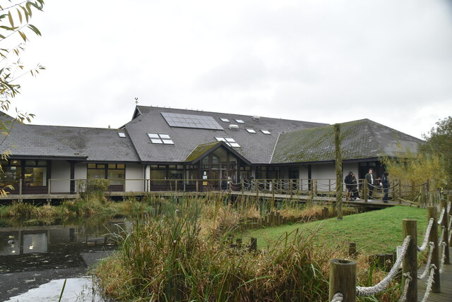 Lough Neagh Discovery CentreHeritage attraction · 3.3 mi
 CHURCH, ROUND TOWER, GRAVEYARD & CROSS-CARVED STONE: RATHMESK, TRUMMERY ROUND TOWER in TrummeryCHURCH, ROUND TOWER, GRAVEYARD & CROSS-CARVED STONE: RATHMESK, TRUMMERY ROUND TOWER · 4.6 mi
 WELL & ?CASTLE in InisloughlinWELL & ?CASTLE · 4.6 mi
 C17TH CHURCH & GRAVEYARD: BALLINDERRY NEW CHURCH in BallinderryC17TH CHURCH & GRAVEYARD: BALLINDERRY NEW CHURCH · 5.3 mi