
What is recorded here
Coatbridge, Caldeen Road is a quoits ground in North Lanarkshire, Scotland.
Places near here
Photo credits
- Ross Watson, Wikimedia Commons · CC BY-SA 2.0
- Jim Smillie, Wikimedia Commons · CC BY-SA 2.0
- G Laird, Wikimedia Commons · CC BY-SA 2.0
- Maker not stated on source page, commons.wikimedia.org
- Maker not stated on source page, waterways.org.uk
- Maker not stated on source page, www.dreamstime.com
- Chris Allen, Wikimedia Commons · CC BY-SA 2.0
- Andrew Reid, Wikimedia Commons · CC BY-SA 2.0
 Coatbridge, Calder Street, Calder Parish ChurchChurch (19th Century) (1870) · 525 yd
 Coatbridge, School Street, Whifflet Church of ScotlandChurch (19th Century) · 570 yd
 Whifflet ParkPark · 648 yd
 Coatbridge, Muiryhall Street, Clifton Parish Church ManseManse (19th Century) · 834 yd
 Coatbridge, 10 Church StreetBank (financial) (20th Century), Tenement (20th Century) · 986 ydCoatbridge, 275 Muiryhall Street, Coatdyke Church, HallHall · 998 yd
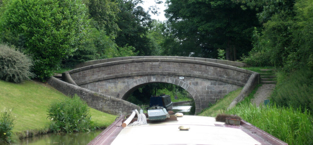 Monkland Canal, Coatbridge Cross Roving BridgeRoving Bridge (18th Century) · 1030 yd
 Coatbridge, Church Street, Free ChurchChurch (19th Century) · 1039 yd
 Iron, Coal Steel MemorialMemorial · 1123 yd
 Mapped graveyardGraveyard · 1165 yd
 Summerlee Museum of Scottish Industrial LifeMuseum · 1498 yd
Explorer Tom Summerlee spreads industrial history across twenty acres in Coatbridge, giving Tom far too much room to pretend he has…
 BlairhillMountain / peak · 1.0 mi
More archaeology and monuments in North Lanarkshire · All of North Lanarkshire

What do you know about this place?Tap to add a comment or ask a question