What is recorded here
Situated at the E edge of a broad plateau, and at the top of an E-facing slope. It is described on the 1835 and 1907 editions of the 6-inch map as a ‘Coal mine’ and would be part of the Arigna group of mines, although it may have been an iron mine. An area of about an acres (c. 0.5 ha) has a number of open trenches (Wth c. 1m; D c. 1m; L c. 10m) that are open at the NE end but run SW horizontally into the escarpment as tunnels. There are spoil mounds consisting of broken limestone adjacent to the openings that almost block some of the tunnels.
Compiled by: Michael Moore
Date of upload: 22 September, 2016
The monument record does not grant public access. Check the route and ask the landowner before entering private land.
- What survives
- Recorded monument
Places near here
.png) IndicatedSweathouse · 1.3 mi
IndicatedSweathouse · 1.3 mi Sweat Ho.Sweathouse · 1.4 mi
 Ballaghnabehy TopMountain / peak · 2.2 mi
 Penal Mass station in AltavraPenal Mass station · 2.5 mi
 ArdlougherMountain / peak · 3.4 mi
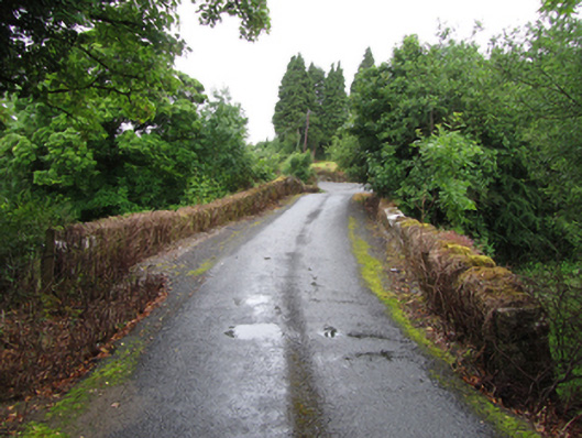 Old Bridgebridge · 3.9 mi
 The Giants GraveArchaeological place · 3.9 mi
 TobermurrySpring · 4.1 mi
 Corrard ForestForest · 4.2 mi
 Republican Garden of RemembranceMemorial · 4.6 mi
 Giants RockNamed rock · 5.5 mi
 Green IslandIslet · 6.7 mi