What is recorded here
At the highest point on a hill, with wide panoramic views. Indicated and named ‘Coad Stone’ on the 1842 and 1920 eds. of the OS 6-inch map. This well-preserved limestone standing stone (H 2.25m; basal dims. L 0.4m; Wth 0.2m; upper dims. L 0.5m; Wth 0.2m) is oriented NW-SE. Its top is pointed at the SE and slopes down to the NW (H 1.75m). There are solution holes in the stone, which appears to be set on a vaguely defined low bank at the E side of a slight hollow (diam. c. 7m); the latter does not appear to be ancient. A field wall is built against the standing stone. The standing stone and wall lie on/near the E perimeter of a mid-19th century racecourse (CL017-202001-). Westropp (1906-1907, 470-1) suggested that this standing stone may have marked the E limit of the lands of medieval Coad church (CL017-066001-), c. 640m to the W. He also asserted that the townland name Coad (from Comfhod, ‘equal length’) usually means ‘tombstone’, and he recorded the local name “Clochliagaun” for this standing stone. He related (ibid.) an account that it was ‘overthrown by a Kilnaboy treasure-seeker’ in 1854, and was re-erected in 1894 by fellow antiquarian George MacNamara and his brother, who ‘found no traces of burial at its foot’.
The following image has been uploaded:
CL017-072----_01.jpg View of standing stone from N
Compiled by: Mary Tunney and Conn Herriott
Date of upload: 14 August 2023
Likely dating to the Neolithic or Bronze Age, the Coad Stone may have functioned as a territorial marker, ceremonial focus, or astronomical alignment point, given its prominent hilltop position. No specific folklore or recorded use beyond its role as a named landmark in historical maps.
The monument record does not grant public access. Check the route and ask the landowner before entering private land.
- What survives
- Recorded monument
Places near here
 Coad Churchchurch/chapel · 712 yd
 Tullan FortFairy fort / stone ringfort · 714 yd
 Enclosure in CoadEnclosure · 863 yd
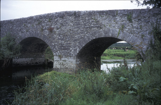 Poplar Bridgebridge · 1278 yd
 Castle (in ruins)Castle, tower house · 1452 yd
 ‘De Clare’s House (in ruins)’ (1842 )Bawn · 1526 yd
 Rock IslandIsland · 1667 yd
 Inchiquin IslandIslet · 1740 yd
 Fergus River CaveCave · 2.1 mi
 Burren National ParkVisitor information · 2.6 mi
 Battle of TullyodeaBattlefield · 3.1 mi
 Farbrega RockNamed rock · 4.0 mi