
What is recorded here
Map note: Find the recorded point for Cnoc a' Chlachain, a mountain or peak near Lower Aird, Highland, Scotland. The name does the climbing; the map shows where to look.
From OpenStreetMap (© OpenStreetMap contributors) n9936641314
Places near here
Photo credits
- N Chadwick, Wikimedia Commons · CC BY-SA 2.0
- Maker not stated on source page, www.britainexpress.com
- Dave Fergusson, Wikimedia Commons · CC BY-SA 2.0
- Richard Dorrell, Wikimedia Commons · CC BY-SA 2.0
- Maker not stated on source page, www.alamy.com
- Ian Taylor, Wikimedia Commons · CC BY-SA 2.0
- Russel Wills, Wikimedia Commons · CC BY-SA 2.0
- John Allan, Wikimedia Commons · CC BY-SA 2.0
- Hilmar Ilgenfritz, Wikimedia Commons · CC BY-SA 2.0
 Lower Aird, SkyeField System, Township · 522 yd
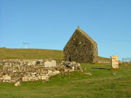 St Molaug's Church, Kilmaluag, SkyeBurial Ground (medieval), Church (medieval) - (16th Century)-(1573), Holy Well (medieval), Bell (early Medieval) · 525 yd
 St Moluah's ChurchRuins · 532 yd
 War MemorialMemorial · 533 yd
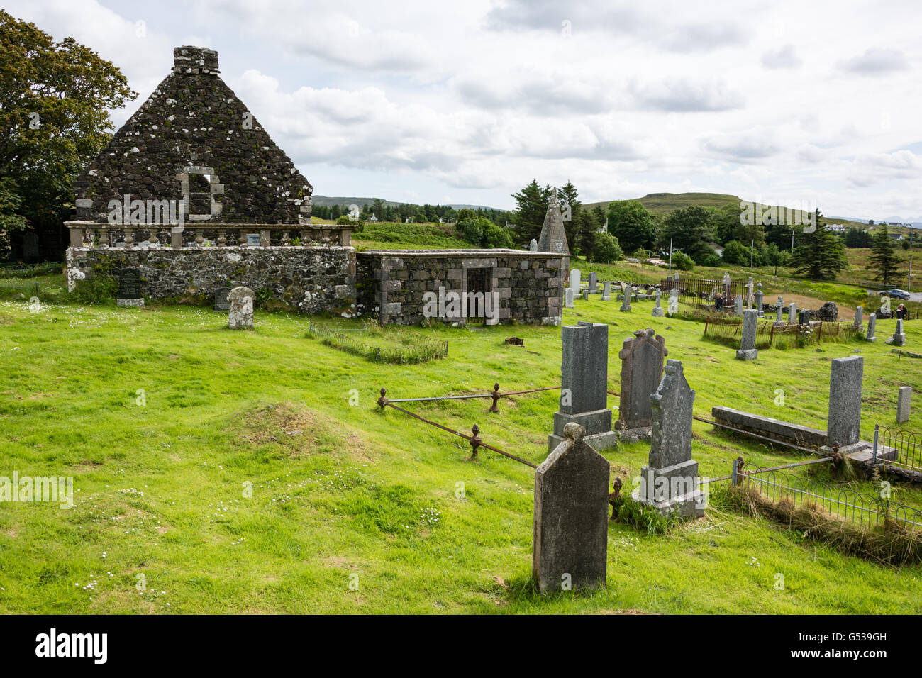 Skye, Balmaqueen, Kilnaluag Chapel, GraveyardBurial Ground · 588 yd
 Port GobhlaigBay · 736 yd
 Slochd a' MhadaidhBay · 819 yd
 An LamanHeadland · 824 yd
 Ben VolovaigMountain / peak · 876 yd
 Stac LachlainnNamed rock · 924 yd
 Kilmaluag BayBay · 941 yd
 Cnoc RollMountain / peak · 1.3 mi
More mountains and hills in Highland · All of Highland

What do you know about this place?Tap to add a comment or ask a question