What is recorded here
Remains of standing stone rectangular in plan (0.70m x 0.40m; c. 2.30m high originally) now broken in two and appears to have been that way for a considerable time. Situated on an elevated site, has tapering top orientated N-S when it was erect.
On an area of raised ground in an otherwise low-lying field. Broken stone which is now lying in two pieces. The top half measures 1.5m x 0.75m and is 0.4m wide and has a slanted top. The bottom half measures 0.5m x 0.75m and is 0.5m wide. When erect the stone was orientated N-S. According to Comerford (1883, 322) the local people believed there was a church site located in this area. Not marked on first two editions of the OS 6-inch maps.
The above description is derived from the published 'Archaeological Inventory of County Offaly' (Dublin: Stationery Office, 1997). In certain instances the entries have been revised and updated in the light of recent research.
Date of upload: 23 May 2011
Likely dating to the Neolithic or Early Bronze Age, Clustucka – Barrysbrook standing stone may have served a ceremonial or territorial function. Its elevated position suggests a possible alignment with landscape features or celestial events, though specific folklore or use remains unrecorded.
The monument record does not grant public access. Check the route and ask the landowner before entering private land.
- What survives
- Recorded monument
Places near here
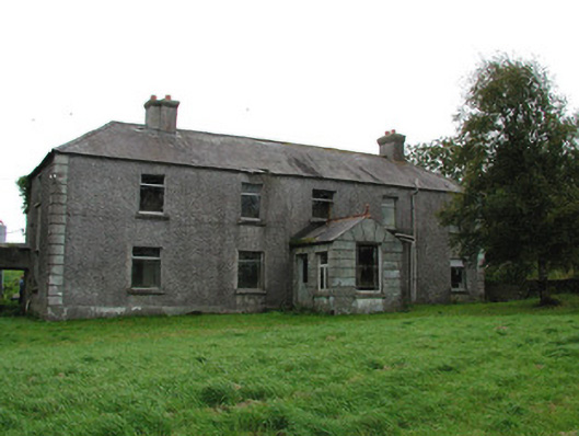 Barrysbrook Housefarm house · 574 yd
 Children's Burial GroundArchaeological place · 742 yd
 Grave YardGraveyard · 1086 yd
 Croghan Hill WalkVisitor information · 1215 yd
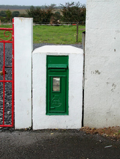 post boxpost box · 1217 yd
 Croghan HillMountain / peak · 1282 yd
 Finnrenashark Holy WellSpring · 1390 yd
 Site of Lady Mary Warrens CastleCastle, unclassified · 1.2 mi
 OConor Falys or Croghan Castle (in ruins)House, fortified house · 1.3 mi
 Holy PlantationForest · 2.2 mi
 Victoria PlantationWood · 2.2 mi
 Clonin EarthworksMountain / peak · 2.3 mi