
What is recorded here
Clontygora Cairn still stands in County Armagh, a small heap of stones that may have marked a burial, a boundary or a prayer. People walked past it for centuries, some knowing its name and others only feeling that the ground had changed beneath their feet. What they placed there or remembered there has faded, but the cairn remains, waiting for someone to listen without demanding proof.
Clontygora Cairn is recorded as a archaeological place in County Armagh. Its open map record supplies this location and any linked names or public references.
Places near here
 COURT TOMB: THE KING'S RING in ClontygoraCOURT TOMB: THE KING'S RING · 7 yd
 Ring of Gullion Way - Section 2Walking route · 385 yd
 Enclosure/Building in Fathom UpperEnclosure/Building · 1692 yd
 Anglesey MountainMountain / peak · 1.1 mi
 ClermontMountain / peak · 1.4 mi
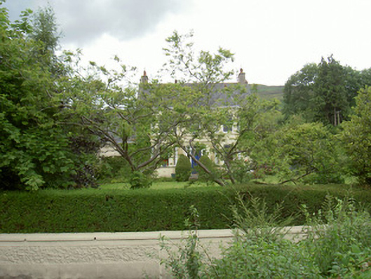 Annaghill Househouse · 1.5 mi
 Narrow Water CastleCastle · 1.6 mi
 Narrow Water KeepHeritage attraction · 1.7 mi
 TOWER-HOUSE AND BAWN: NARROW WATER CASTLE in Narrow WaterTOWER-HOUSE AND BAWN: NARROW WATER CASTLE · 1.7 mi
 Narrow Water WatchtowerVisitor information · 1.7 mi
 Warrenpoint ambushambush · 1.7 mi
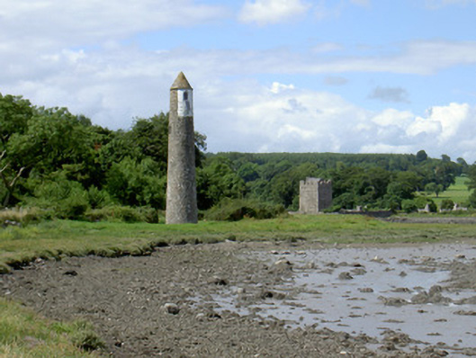 Newry River Lighthouse (Rear)beacon · 1.8 mi
Other information
Photo: Rossographer · CC BY-SA 2.0