What is recorded here
Situated in pasture. No depiction is visible on the 1837 ed. OS 6-inch map, where the monument is at the join of two OS map sheets and named ‘Cloghstuckagh’. Not depicted on the revised 1913 ed. OS 25-inch map, but is located in woodland which is named Cloghstuckagh. Monument is not visible on Digital Globe aerial photography.
Compiled by Alison McQueen, Vera Rahilly and Caimin O’Brien
Date of upload: 04 November 2019
The monument record does not grant public access. Check the route and ask the landowner before entering private land.
- What survives
- Recorded monument
Places near here
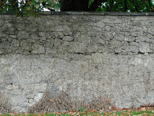 Dunboden Parkgates/railings/walls · 884 yd
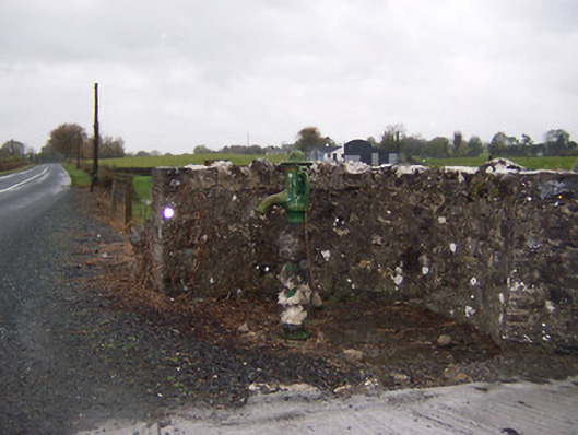 water pumpwater pump · 981 yd
 Bawn in Simonstown (fartullagh By.)Bawn · 985 yd
 ToberbreediaHoly well · 1264 yd
 Ecclesiastical enclosure in WhitewellEcclesiastical enclosure · 1321 yd
 CastleCastle, tower house · 1473 yd
 Dysart IslandIsland · 4.0 mi
 Ash IslandIslet · 4.2 mi
 Derrygreenagh HillMountain / peak · 4.9 mi
 Knockdrin HillMountain / peak · 5.7 mi
 GinkgoGinkgo · 11 mi
 post boxpost box · 1204 yd