What is recorded here
In gently undulating pasture with good views. An upright sandstone slab (H 2.15m; 1.14m x 0.47m; long axis NNE-SSW) leaning to NW. The flat SE face and the gently convex NW face both taper towards the top. Another standing stone (SL044-058----) is c. 75m to SE in the adjoining field. They were recorded in 1836 as 'two standing stones near each other, both called Cloghmore of Doon.' (OSNB vol. 1, 435).
The above description is derived from the published 'Archaeological Inventory of County Sligo' compiled by Ursula Egan, Elizabeth Byrne, Mary Sleeman with Sheila Ronan and Connie Murphy (Dublin Stationery Office, 2005).
Date of upload: 18 January 2008
Likely dating to the Bronze Age, this standing stone may have functioned as a territorial marker or ritual monument. No specific folklore or inscriptions are recorded, though its positioning suggests possible ceremonial or astronomical significance.
The monument record does not grant public access. Check the route and ask the landowner before entering private land.
- What survives
- Recorded monument
Places near here
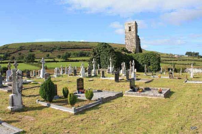 Abbey (in Ruins)Church · 1036 yd
 altarArchaeological place · 1728 yd
 AlterPenitential station · 1732 yd
 Enclosure in RathmadderEnclosure · 2.3 mi
 Bockagh HillMountain / peak · 3.0 mi
 Moygara CastleCastle · 3.4 mi
 Moygara Castle (in Ruins)Bawn · 3.4 mi
 Crow IslandIslet · 4.6 mi
 Castle PointHeadland · 5.1 mi
 Inch IslandIslet · 5.2 mi
 Rose PointHeadland · 5.5 mi
 Curlew MountainsMountain / peak · 7.3 mi