What is recorded here
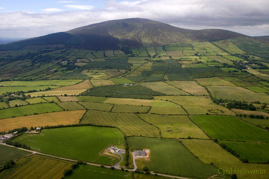
In fallow tillage, on a NW-facing slope 270m below the summit of Knockapharson hill and just above a 500ft contour. There are excellent views from W-N-E. According to local information, 'Cloghleigh' is a substantial natural boulder c. 10 tonnes in weight. It was moved in recent years downslope to the NE, into the W end of a grove of cypress trees where it currently rests, overgrown with briars. On both the 1st (1840) and 1903-04 ed. OS 6-inch map the stone is depicted immediately E of a field boundary running NE-SW which, together with the stone, has since been removed. The field where the stone stood is known locally as the 'The Rock Field'. It is likely that 'Cloghleigh' refers to a natural boulder and not a standing stone.
Compiled by: Jean Farrelly
Date of upload: 26 August 2011
The monument record does not grant public access. Check the route and ask the landowner before entering private land.
- What survives
- Recorded monument
Places near here
 LismoynanEnclosure · 351 yd
 Enclosure in LismoynanEnclosure · 430 yd
 Peppardstown Househouse · 1073 yd
 St. Johnstown ChurchChurch · 1177 yd
 Saint Johnstown CastleCastle · 1219 yd
 CastleCastle, ringwork and bailey · 1.2 mi
 Eagle HillMountain / peak · 2.1 mi
 Kilknockan HillMountain / peak · 2.8 mi
 East GateMemorial · 3.9 mi
 European YewEuropean Yew · 4.0 mi
 Pedunculate OakPedunculate Oak · 4.6 mi
 Gobban Saer's GraveArchaeological place · 6.7 mi