What is recorded here
Clogheracaun is a cairn (unclassified) in Middlequarter (Newcastle parish), County Tipperary, Ireland. It lies on the north edge of the top of Knocknagearagh hill in the Knockmealdown Mountains, just below the highest point, which rises to the south. The denuded red sandstone structure measures 12.8 metres north to south and 15.1 metres east to west, reaching 0.35 metres in the east quadrant and 1.06 metres in the west quadrant. Some quartz stones remain visible, while the southeast edge has been built up to form walling.
On the N edge of the top of Knocknagearagh hill in the Knockmealdown Mountains, just below the highest point which appears to rise to the S. A denuded cairn (dims. 12.8m N-S; 15.1m E-W; H 0.35m in E quadrant, 1.06m in W quadrant) of red sandstone with some quartz stones visible. In the SE quadrant the edge has been built up to form walling.
Compiled by: Jean Farrelly
Date of upload: 03 March 2014
A denuded cairn, likely dating to the Bronze Age; its position on a prominent hill suggests ritual or funerary significance, common for such monuments in the region.
The monument record does not grant public access. Check the route and ask the landowner before entering private land.
- What survives
- Recorded monument
Places near here
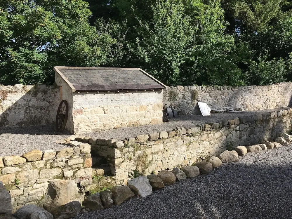
 Hut site in Clashganny WestHut site · 1278 yd
 Enclosure in Clashganny WestEnclosure · 1327 yd
 Catholic Church of Our Lady of the Assumptionchurch/chapel · 1.6 mi
 Church (in ruins)Church · 1.6 mi
 IndicatedBawn · 1.7 mi
 Bawn in FrehansBawn · 2.1 mi
 KnockmealMountain / peak · 2.2 mi
 KnocknanaskMountain / peak · 2.4 mi
 European long distance path E8 - part IrelandWalking route · 3.3 mi
 Kildanogue wildfowl sanctuary and nature reserveNature reserve · 3.7 mi
 Glenshelane WoodsForest · 4.9 mi
 The VeeViewpoint · 5.3 mi