What is recorded here
Nine stones still stand on the north and east sides of Cloghbrack Burial Ground, while the rest has gone missing under rough pasture and blanket bog. A broken wall stretches thirty-three metres from the tallest stone, and a second shorter wall lies nineteen metres away, suggesting the circle once belonged to a larger arrangement of boundaries and memory. Davies wrote about a central grave in 1940, but no such feature is visible now, leaving the true purpose of the inner space unresolved. The place keeps what it can hold and releases the rest into legend.
Marked 'Cloghbrack Burial Ground' on the 2nd and 3rd editions of the OS 6-inch maps. The site consists of part of a circle of standing stones, the N and E sides only surviving. Nine stones survive. The interior is covered with a light scatter of stones but there is no evidence for the 'central grave' recorded here by Davies in 1940. A discontinuous wall runs for 33.5m N-S from the highest surviving stone of the circle. The wall is made up of orthostats and flat-topped boulders. 19m E of this wall, a second wall runs roughly NNE-SSW for 15m. The site is located in rough pasture with rock outcrop and blanket bog.
The above description was derived from the 'Archaeological Survey of County Donegal. A description of the field antiquities of the County from the Mesolithic Period to the 17th century.' Compiled by: Brian Lacey with Eamon Cody, Claire Cotter, Judy Cuppage, Noel Dunne, Vincent Hurley, Celie O'Rahilly, Paul Walsh and Seán Ó Nualláin (Lifford: Donegal County Council, 1983). In certain instances the entries have been revised and updated.
Date of upload: 22 September 2008
Cloghbrack Burial Ground is likely from the Late Neolithic or Early Bronze Age, based on its form as a partial stone circle. Such sites were often used for ritual or funerary purposes, and may have held astronomical or ceremonial significance.
The monument record does not grant public access. Check the route and ask the landowner before entering private land.
- What survives
- Recorded monument
Places near here
 Tullytrasna Standing StonePublicly named standing stone · 120 yd
 Lettermore National Schoolschool · 902 yd
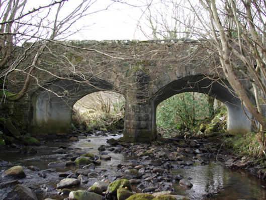 Lettermore Bridgebridge · 1185 yd
 Binn BhánMountain / peak · 1.7 mi
 Cloghmeen HillMountain / peak · 1.8 mi
 Carraduffy / Killin Court TombCourt tomb · 1.8 mi
 Disert GraveyardGraveyard · 2.4 mi
 Dermot & Grania's BedCave · 3.2 mi
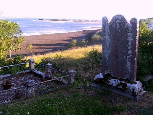 Killymard Old Church GraveyardGraveyard · 5.0 mi
 Mac Manus Estate, RossylonganForest recreation place · 5.7 mi
 Wych ElmWych Elm · 5.8 mi
 Ballyboyle Castle (Site of)Castle, tower house · 6.0 mi