
What is recorded here
Detached two-bay single-storey former national school on T-shaped plan, dated 1909, having gabled projection to the centre of the main elevation (west) and with single-storey shed addition/toilet block to the rear (east) at the north end. Now out of use and derelict. Pitched natural slate roofs with terracotta ridge tiles, cast-iron rainwater goods, exposed timber rafter ends, central metal roof vent, projecting rendered chimneystacks to the gable ends (north and south) and with cut stone corbels to the corners of the main block. Raised rendered verge to central gabled projection with cut stone kneeler stones/corbels at eaves level. Catslide roof over shed addition/toilet block to rear. Roughcast rendered walls to east and west elevations, and to gabled projection; smooth rendered walls to north and south gable ends. Cut stone date plaque to the centre of the gabled projection inscribed ‘LETTERMORE NATIONAL SCHOOL 1909’. Square-headed window openings with stone sills and having four-over-four pane timber sliding sash windows to front face of gabled projection (west) and with six-over-six pane timber sliding sash windows to the side elevations of main block (north and south). Render failing in places exposing brick surrounds to window openings. Square-headed door opening to south side of gabled projection having timber panelled door. Two steps to entrance having metal bootscraper. Interior main space divided into two classrooms by timber folding partition with glass panels to upper sections; wainscoting to walls. Coat hooks along picture rail. Set back from road in elevated site in own grounds in the isolated rural countryside to the north of Frosses, and to the north-east of Inver. Mature trees to site. Rubble stone boundary wall to road-frontage to the west. Pedestrian gateway to the west of gabled projection having a pair of dressed ashlar gate piers (on square-plan) having pyramidal stone coping over, and with wrought-iron flat bar gate. Rubble stone walls to rear of site.
Although now out of use, this simple but well-built early-twentieth century national school survives in relatively good condition, and retains its early form and character. Its integrity is enhanced by the retention of much of its early fabric, including natural slate roofs, timber sliding sash windows and timber doors, which adds a satisfying patina of age to this unassuming structure. Its simple form is enlivened by the cut stone corbels to the corners of the main block, the moulded kneeler stones to the gabled projection and the cut stone date plaque, which adds a modicum of artistic interest to the facades of this utilitarian structure. Its T-shaped plan and layout is typical of its type and date, and is characteristic of the great many two classroom national schools built throughout Ireland in the late-nineteenth and early twentieth centuries to standardised designs prepared by the Board of Works/Office of Public Works. National schools of this type are a feature of the isolated rural landscapes of County Donegal, adding a layer of social history to the physical environment, and are indicative of significant local population in a period when transport was more difficult. This building replaced an earlier national school in this area, which was located adjacent to the south of the present edifice (Ordnance Survey third edition six-inch map sheet of 1907). This building, located in a scenic upland area to the north of Frosses, is an interesting addition to the built heritage and social history of the local area. The simple boundary wall and the good quality gateway add considerably to the setting and complete this composition.
This does not grant access. Most recorded buildings are privately owned; view them only from public ground unless the owner allows entry.
Places near here
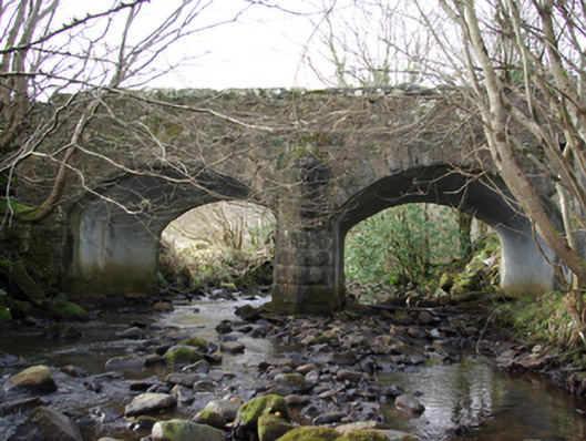 Lettermore Bridgebridge · 292 yd
 Tullytrasna Standing StonePublicly named standing stone · 1021 yd
 Eanybeg Bridgebridge · 1.0 mi
 Carraduffy / Killin Court TombCourt tomb · 1.6 mi
 Killin HillMountain / peak · 1.7 mi
 Binn BhánMountain / peak · 2.1 mi
 Disert GraveyardGraveyard · 2.8 mi
 Dermot & Grania's BedCave · 3.6 mi
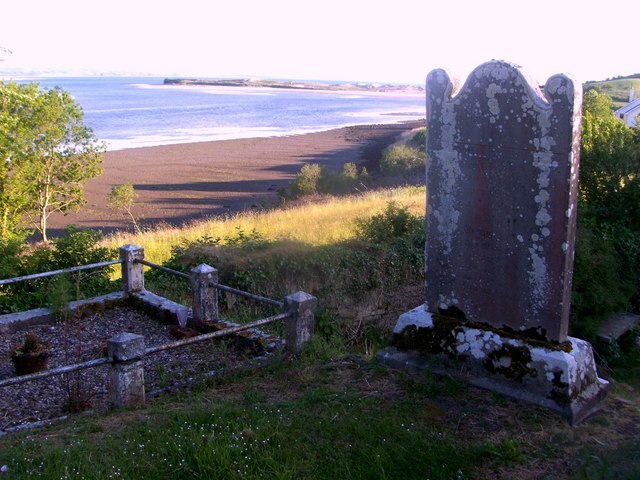 Killymard Old Church GraveyardGraveyard · 4.6 mi
 Salthill GardensHeritage attraction · 4.9 mi
 Mac Manus Estate, RossylonganForest recreation place · 5.3 mi
 Wych ElmWych Elm · 5.5 mi
Other information
Photo: louise price · Creative Commons Attribution-ShareAlike 2.0