What is recorded here
Situated on flat grassland with good views in all directions, 260m W of Lough Gur in an area with a large concentration of prehistoric monuments. Grange embanked stone circle (LI032-004001-) is visible 60m to NNW, an ancient roadway known as Cladh na Leac (LI032-010001-) running N-S lies 200m to E, with a megalithic structure (LI032-010003-) 200m to SSE. Standing stone described by O'Kelly (1944, 46) as a 'large boulder of volcanic breccia measuring 5' [1.5m] high, 8'm [2.4m] long and 4' [1.2m] thick'. Standing stone marked on OS 6-inch map as 'Cloch á bhíle' meaning 'the stone of the sacred tree'. In 1895 it was suggested that this stone may have been used as an inauguration site for the kings of Munster (Lynch 1895, 299).
Compiled by: Caimin O'Brien
Date of upload: 4 July 2018
Cloghavilla, Grange is likely from the Neolithic or Bronze Age, given its proximity to other prehistoric monuments in the area. It may have had ritual or ceremonial significance, possibly linked to the broader landscape of Lough Gur, known for its rich archaeological heritage.
The monument record does not grant public access. Check the route and ask the landowner before entering private land.
- What survives
- Recorded monument
Places near here
 Grange Stone CircleArchaeological place · 111 yd
 Stone CirclesStone circle, embanked · 113 yd
 Structure in Grange (smallcounty By.)Structure · 120 yd
 Lough GurVisitor information · 163 yd
 Cladh na LeacRoad, road/trackway · 273 yd
 Bawn in Grange (smallcounty By.)Bawn · 596 yd
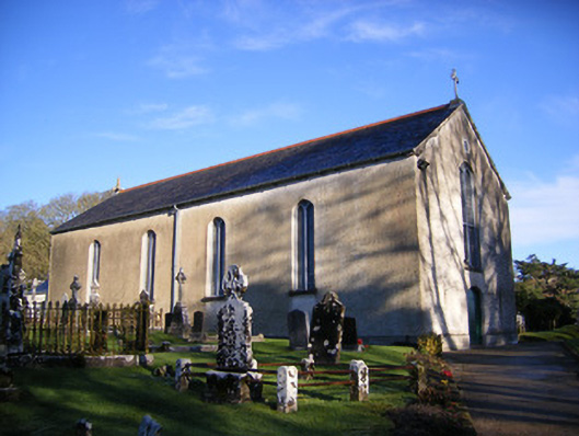 Catholic Church of Saint Patrick and Saint Brigidchurch/chapel · 805 yd
 Garret IslandCastle, unclassified · 820 yd
 Pedunculate OakPedunculate Oak · 1673 yd
 The SpectaclesVisitor information · 1.1 mi
 Lough Gur Heritage CentreVisitor information · 1.1 mi
 Glen BogForest · 2.1 mi