What is recorded here
The medieval bridge of 'Cloghansawny' which provided a crossing point over the Camoge River was described in the 1654-56 Civil Survey of Limerick as following; 'There are on the River of Camoge two Bridges, viz: Cloghansawny and Sixmilebridge' (Simington 1938, 94). The bridge is depicted on the 1654-7 Down Survey map of Small barony (NLI, MS 718).
See attached image showing the bridge on the Down Survey map.
Compiled by: Caimin O'Brien
Date of upload: 24 February 2020
The monument record does not grant public access. Check the route and ask the landowner before entering private land.
- What survives
- Recorded monument
Places near here
 Cloughansoun Bridgebridge · 1 yd
 BarrowBarrow, ditch barrow · 335 yd
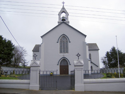 Catholic Church of the Sacred Heartchurch/chapel · 800 yd
 Hut site in BallinardHut site · 806 yd
 Castle (in ruins)Castle, unclassified · 1695 yd
 Bawn in Ballinscoola (smallcounty By., Cahercorney Ed)Bawn · 1.4 mi
 Lough Gur Heritage CentreVisitor information · 1.8 mi
 The SpectaclesVisitor information · 1.8 mi
 Pedunculate OakPedunculate Oak · 1.8 mi
 KnockainyMountain / peak · 3.0 mi
 Kilteely HillMountain / peak · 3.2 mi
 St. Patrick's WellSpring · 3.3 mi