
What is recorded here
In pasture, on top of the S side of a narrow ravine, with sheer sides of exposed limestone, in the Bricklieve Mountains. A level D-shaped area (dims. 29m E-W; 24m N-S) defined NE-SW by two stony banks with an intervening fosse and on the straight N side by the edge of a ravine. The inner bank (Wth 7.4m; int. H 1m; ext. H 0.85m) is evident E-SW as a sod-covered stony rise. Elsewhere the interior is defined by a straight scarp of limestone bedrock, probably the result of recent quarrying, that drops 2m down into the fosse. The fosse (Wth 2.4m) is flat-bottomed and relatively shallow E-SW but at W expands to a broad deep depression (Wth 6.8m; ext. D 1.35m) that slopes down toward the cliff-edge at N. The greater width of the fosse in this section may be due to the quarrying away of the inner bank but it also appears to kink outwards slightly to incorporate a natural undulation. Within the fosse on the W side, close to the cliff-edge and slightly recessed into sloping ground, is a ruined limekiln (SL040-080005-). The outer bank (Wth 1.9m; int. H 0.55m; ext. H 0.77m) is compact and relatively narrow. At E it is truncated by a small subrectangular annexe (12.5m E-W; 9.6m N-S at W, 7.6m at E) (SL040-080004-), defined by a low compact stone bank (Wth 2m; int. H 0.3m; ext. H 0.6m), that projects from the E edge of the rath. The level interior of this annexe is slightly raised. Projecting from, but partially incorporated into, the inner face of the stone bank at SSE is a hut site (SL040-080002-). Two parallel E-W banks (Wth 1.9m; H 0.6m), separated by a slightly sunken gap (Wth 1.1m), extend eastwards into the interior from the bank at SW; the S bank is slightly longer (L 8.5m) than the N bank (L 6.85m). The function of these banks is unclear. In the NW quadrant of the interior is a small stony rise (4.8m E-W; 1.5m E-W; H 0.3m) abutted on the N side by another rise (1.4m N-S; 1.5m E-W; H 0.3m).
The above description is derived from the published 'Archaeological Inventory of County Sligo' compiled by Ursula Egan, Elizabeth Byrne, Mary Sleeman with Sheila Ronan and Connie Murphy (Dublin Stationery Office, 2005).
Date of upload: 18 January 2008
The monument record does not grant public access. Check the route and ask the landowner before entering private land.
- What survives
- Recorded monument
Places near here
 IndicatedEnclosure · 384 yd
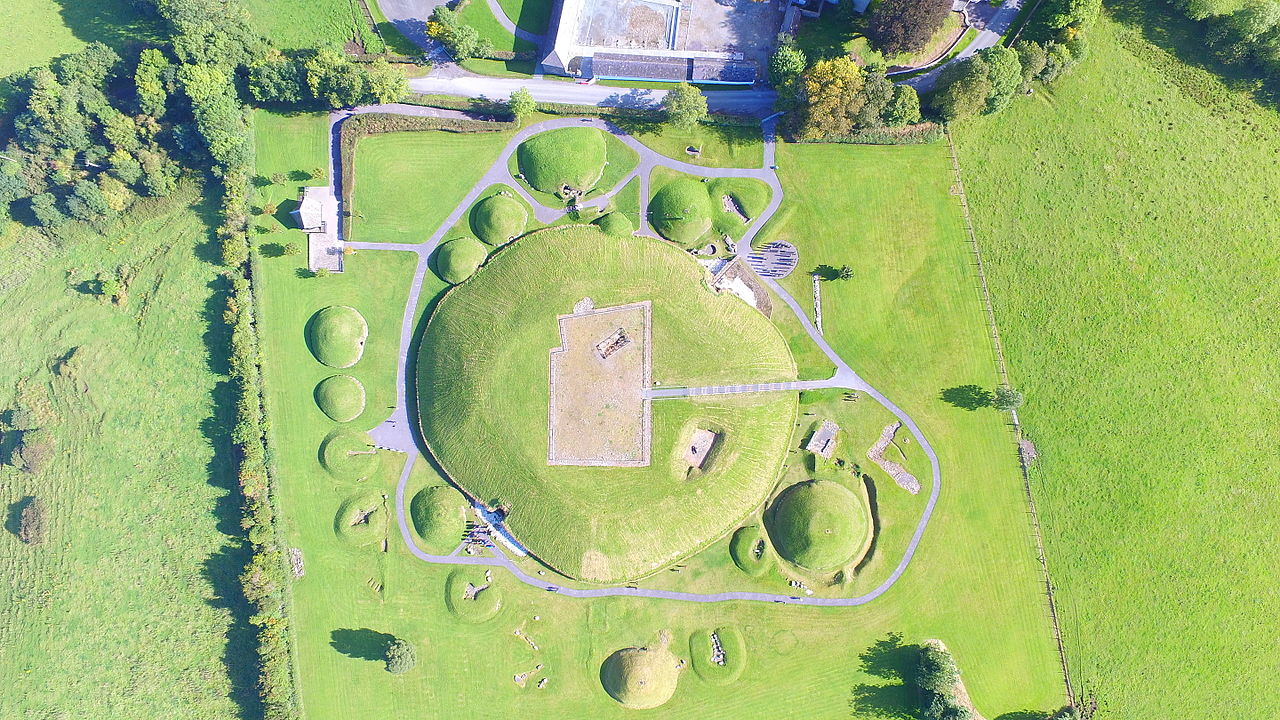 Enclosure in Treanmore (corran By.)Enclosure · 888 yd
 Treanscrabbagh caveCave · 1220 yd
 Church (in Ruins) (1838).Church · 1342 yd
 KilnKiln, lime · 1.3 mi
 Bricklieve MountainsMountain / peak · 1.3 mi
 Kesh CorannMountain / peak · 1.4 mi
 School CaveCave · 1.4 mi
 Bricklieve Castle (in Ruins)Castle, unclassified · 1.6 mi
 Caves of KeshCave · 1.7 mi
 Castle BaldwinCastle · 2.4 mi
 Annaghgowla IslandIslet · 3.1 mi
Other information
Photo: Credit not shown in the picture search · Rights wording not checked; contact us if this picture should be removed