
What is recorded here
The official Northern Ireland record identifies this as a Grade A listed building. Recorded construction date: 1700 - 1719. Current recorded use: Bridge.
The official record and map point do not grant access. Many historic buildings are privately owned; view them only from public ground unless the owner allows entry.
Places near here
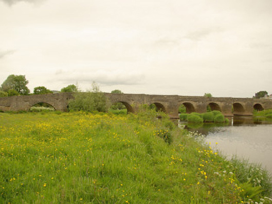 Clady Bridgebridge · 14 yd
 BATTLE SITE: in 789 AD & BATTLE OF THE FORDS , Southern crossing, 1689 in Clady; DonnygowanBATTLE SITE: in 789 AD & BATTLE OF THE FORDS , Southern crossing, 1689 · 35 yd
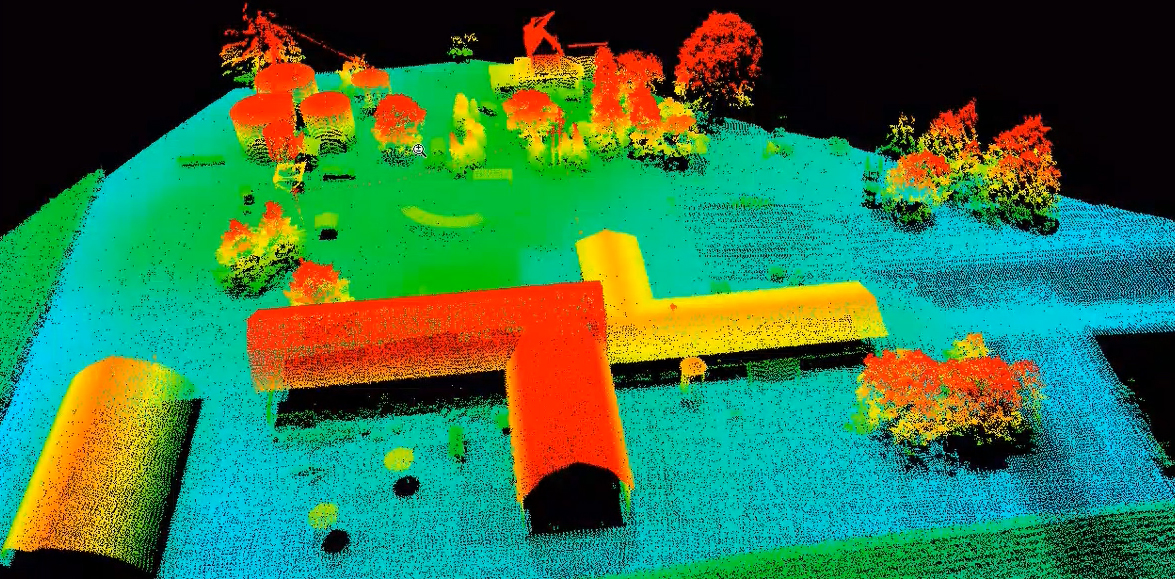 LiDAR site- Possible curvilinear enclosure in DonnygowenLiDAR site- Possible curvilinear enclosure · 368 yd
 Enclosure in Cloghfin (castlefin Ed)Enclosure · 647 yd
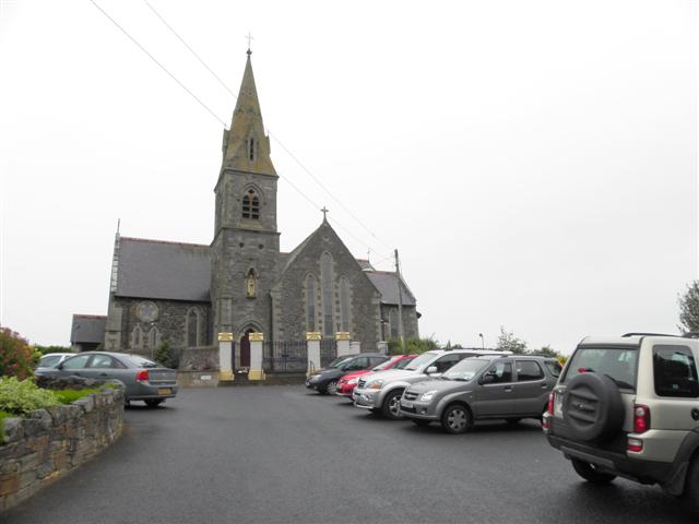 St. Columba's Catholic Churchchurch/chapel · 1012 yd
 OutlinedBawn · 1.9 mi
 CastleCastle, unclassified · 1.9 mi
 Croaghan HillMountain / peak · 2.2 mi
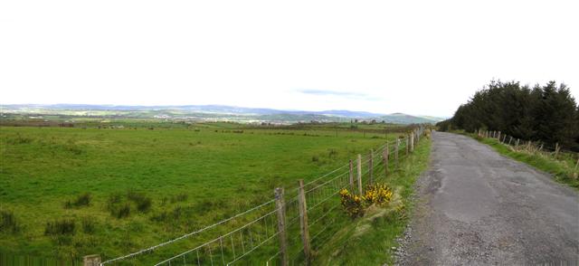 Fearn HillMountain / peak · 2.7 mi
 BATTLE SITE: BATTLE OF THE FORDS, Central crossing, 1689 in Magirr; Town Parks OF StrabaneBATTLE SITE: BATTLE OF THE FORDS, Central crossing, 1689 · 3.7 mi
 Gray PrinterHeritage attraction · 4.0 mi
 1916 Easter Rising Memorial StoneMemorial · 4.0 mi
Other information
Photo: Des Colhoun · CC BY-SA 2.0