What is recorded here
Towards the S end of a N-S karst ridge. Circular cairn (RO041-063001-) has a possible cist (dims 0.8m NE-SW; 0.3m NW-SE) defined by two slabs inside the kerb at S.
Compiled by: Michael Moore
Date of upload: 24 August 2010
See attached document with a plan of the remains.
A cist tomb within a circular cairn, likely dating to the Early Bronze Age; such burials are significant for understanding funerary practices and settlement patterns in upland landscapes.
The monument record does not grant public access. Check the route and ask the landowner before entering private land.
- What survives
- Recorded monument
Places near here
 IndicatedFairy fort / earthen ringfort · 941 yd
 CrossCross, Wayside cross · 1415 yd
 Church in SkrineChurch · 1556 yd
 CastleCastle, unclassified · 1588 yd
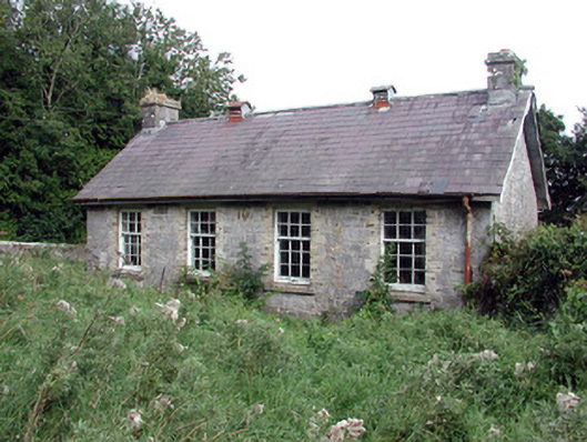 Saint Patrick's National Schoolschool · 1.5 mi
 TogherfinnForest · 1.7 mi
 Bolinree WoodForest · 2.1 mi
 Hangman's HillMountain / peak · 3.6 mi
 Castle (Site of)Castle, unclassified · 3.9 mi
 Inchnaveague IslandIslet · 4.6 mi
 InchmoreIslet · 4.7 mi
 Roscommon CastleCastle · 5.0 mi