What is recorded here
On S-facing slope overlooking the mouth of Oranmore Bay. Thin rectangular limestone pillar (H 2.45m) (GA094-071----). At its base are two thin slabs, apparently buried on edge, which may be the remains of a cist (GA094-071001-). An early monastic settlement (GA094-072001-) lies c. 335m to SW. (Athy 1914, 164-5; Fox et al. 1978, 51; O'Flanagan 1927a, Vol. 1, 326)
The above description is derived from the published 'Archaeological Inventory of County Galway Vol. I - West Galway'. Compiled by Paul Gosling (Dublin: Stationery Office, 1993).
Date of upload: 19 October 2020
A cist burial, likely dating to the Neolithic or Early Bronze Age; its location suggests a possible funerary or ritual significance in relation to the coastal landscape.
The monument record does not grant public access. Check the route and ask the landowner before entering private land.
- What survives
- Recorded monument
Places near here
 Round TowerRound tower · 478 yd
 Church (in ruins)Church · 509 yd
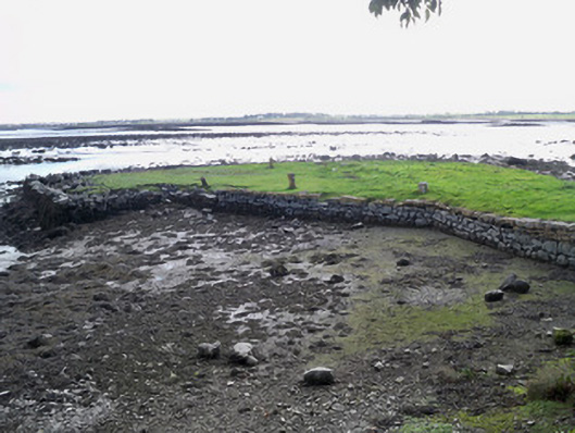 quay/wharfquay/wharf · 588 yd
 Roscam FollyMonument · 621 yd
 Aunteen WoodsWood · 1065 yd
 Uncleen WoodsWood · 1231 yd
 Leadmine HillMountain / peak · 1.1 mi
 Merlin Park CastleCastle · 1.2 mi
 Merlin CastleCastle, tower house · 1.2 mi
 Rabbit IslandIslet · 1.3 mi
 Ballyloughane BeachBeach / strand · 1.6 mi
 Hare IslandIslet · 2.0 mi