What is recorded here
Situated at the crest of the W-facing slope of a S-N spur on the E side of the valley of the S-N Ballymoat stream. A small polygonal cist (int. dims. 0.83m E-W; 0.42m N-S; H c. 0.49m) with a capstone (dims. 0.96m x 0.74m; T 0.12m) was discovered in a garden during 2004 at a depth of c. 0.2m), and reported to NMI. The sides of the cist were composed of slabs and coursed stones, and the floor was paved with five stones. On excavation (04E0829) it was found to contain an upright ribbed bowl and the cremated remains of two adults, one of whom was male. A sample of the bone produced a C14 date of cal. BC 2190-1920 (Cahill and Sikora 2004, 283). The cist may have been associated with the unlocated Bronze Age burial (WA017-106----). (Cahill and Sikora 2004; Cahill 2007; Cahill and Sikora 2011)
Cahill, M. and Sikora, M. (2004) Lisnakill, Co. Waterford. Unpublished report. NMI.
Cahill, M. (2007) Lisnakill. Early Bronze Age cist burial. in I. Bennett (Ed.) Excavations 2004: summary accounts of excavations in Ireland, 427, No. 1684. Wordwell. Dublin.
Cahill, M. and Sikora, M. (2011) 3:73 Lisnakill, Co. Waterford, 04E0829. in M. Cahill and M. Sikora (2011) Breaking ground, finding graves – reports on the excavations of burials by the National Museum of Ireland, 1927-2006. vol. 1, 466-474. Wordwell, Dublin.
Compiled by: Michael Moore
Date of upload: 20 March 2012
Polygonal cist, likely dating to the Early Bronze Age. Such cists were typically used for inhumation burials and are significant as markers of early funerary practices in the region.
The monument record does not grant public access. Check the route and ask the landowner before entering private land.
- What survives
- Recorded monument
Places near here
 The Harp StoneArchaeological place · 566 yd
 Chruch (in ruins)Church · 793 yd
 Embanked enclosureFairy fort / ringfort · 840 yd
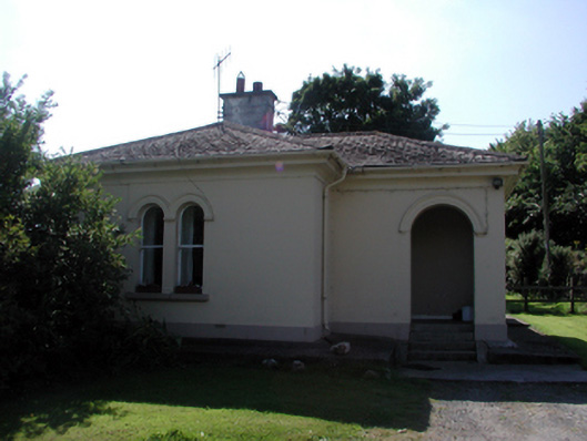 Whitfield Housegate lodge · 1677 yd
 Mote or TumulusCastle, motte · 1.1 mi
 Site of CastleCastle, unclassified · 1.2 mi
 Mount Congreve GardensHeritage attraction · 1.4 mi
 Monterey CypressMonterey Cypress · 1.5 mi
 Sweet micheliaSweet michelia · 1.6 mi
 Sugar Loaf RockMountain / peak · 1.7 mi
 Waterford & Suir Valley RailwayHeritage attraction · 2.5 mi
 Ballyscanlon HillMountain / peak · 3.7 mi