What is recorded here
In the course of his excavation of the area around the Killycluggin stone Raftery (1978, 49-54) discovered a small oval pit (dims. 1.4m x 1.1m; D 0.65m), immediately E of the site of the stone, which yielded flecks of charcoal, tiny fragments of burnt bone and a flint scraper. Macalister (1922, 116) recorded that treasure hunters had 'dug all round the monument' [the Killycluggin stone] and had ... discovered a small burial-cist, which they proceeded to destroy'. The cist was 'just beside the stone, sunk about 3 feet in the ground, on the E side'. Both writers were apparently referring to the same site.
The above description is derived from the published 'Archaeological Inventory of County Cavan' (Dublin: Stationery Office, 1995). In certain instances the entries have been revised and updated in the light of recent research.
Date of upload/revision: 22 December 2008
A Bronze Age cist tomb; its significance lies in its association with the Killycluggin stone, potentially indicating a ritual or funerary context in a landscape rich with megalithic monuments.
The monument record does not grant public access. Check the route and ask the landowner before entering private land.
- What survives
- Recorded monument
Places near here
 Killycluggin StoneVisitor information · 262 yd
 Tober PatrickHoly well · 786 yd
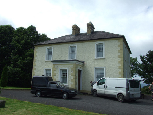 The Presbyterypresbytery/parochial/curate's house · 914 yd
 Saint Patrick's Catholic Churchchurch/chapel · 996 yd
 LissanoverCastle, unclassified · 1208 yd
 IndicatedHilltop enclosure · 1257 yd
 Killarah ForestForest · 1.1 mi
 Bellaheady MountainMountain / peak · 1.1 mi
 Ballyconnell Log CabinsForest · 1.5 mi
 Saint Mogue's IslandIslet · 1.6 mi
 Giants GraveArchaeological place · 1.7 mi
 Bilberry HillMountain / peak · 2.3 mi