What is recorded here
About eight people were buried in long cists near Kilballyowen, their heads pointing west, before sand-diggers opened the ground and a rescue excavation recovered what remained. They may have belonged to the Early Iron Age or Early Christian period, and a quern stone lay nearby, but no vessel, weapon or jewel has been recorded beside them. The cists are no longer visible, and the place now sits beside a community carpark, holding its dead beneath ordinary traffic and forgetting them the way pasture forgets everything.
In pasture, 35m N of the townland boundary with Kyle. A burial mound (LI040-010----) lies 200m to the SE. Not marked on OSi historic maps. A group of 'long cists' described by O’Kelly (1944, 23) as following; ‘These cists were first uncovered in the course of digging for sand. A rescue excavation was carried out (20) on behalf of the National Museum, when a total of about 8 burials was uncovered, some of which were unprotected skeletons. Others had been removed before the Excavator’s arrival and still others were left unexcavated. The bodies lay E-W with the heads to the W., and all were extended burials. There were no associated finds but in the vicinity of the graves a quern stone was found. It is probable that the graves belong to the Early Iron Age or to the Early Christian period (21).’ No surface remains visible on Digital Globe orthoimage taken 2011-13 or on Google earth orthoimages. The precise location of this cist cemetery has not been verified. The area presently marked as the location of the cist cemetery is adjacent to the carpark of the community centre/sports grounds.
Compiled by: Fiona Rooney
Date of upload: 20 May 2021
Cist in Kilballyowen is a small stone burial chamber, likely dating to the Early Christian or Early Medieval period. Its association with a burial mound and description as part of a group of 'long cists' suggests it may be linked to early Christian funerary practices in the region.
The monument record does not grant public access. Check the route and ask the landowner before entering private land.
- What survives
- Recorded monument
Places near here
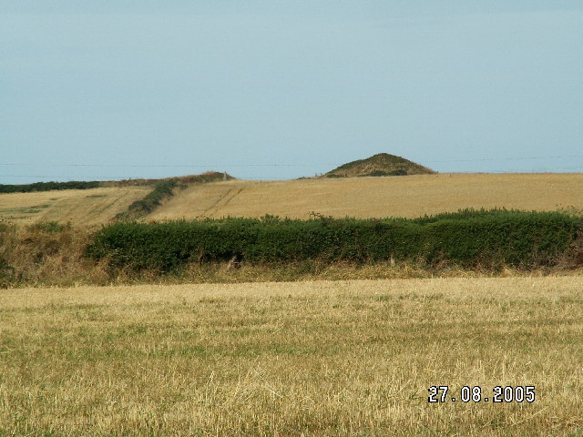 Burial mound in BaggotstownBurial mound · 239 yd
 Ballyvulhane Bridgebridge · 493 yd
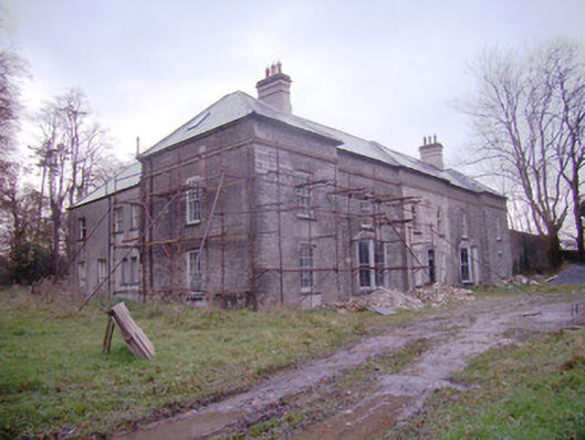 Baggotstown Housecountry house · 534 yd
 Kilballyowen HouseCastle, unclassified · 835 yd
 Enclosure in Milltown (coshma By.)Enclosure · 1012 yd
 Ballygrennan Castle (in ruins)Castle, tower house · 1.3 mi
 Glen BogForest · 1.4 mi
 KnockainyMountain / peak · 1.4 mi
 Flat cemetery in Knockainy WestFlat cemetery · 2.2 mi
 St Patrick's WellSpring · 5.3 mi
 Kilteely HillMountain / peak · 5.5 mi
 St. Patrick's WellSpring · 5.9 mi