What is recorded here
Situated on a S-facing slope of a NE-SW ridge overlooking the NE-SW River Slaney with the river c. 270m to the S. A rectangular cist (int. dims. 0.6m x 0.4m; D 0.5m) with a stone floor and a single lintel (dims. 1.1m x 0.85m; T 0.3m) was accidentally discovered in 1975 and excavated. It contained the cremation of a juvenille and a vase food vessel. The human remains produced a C14 date range of 2140-1910 BC. The area is now developed as housing on the N outskirts of Enniscorthy. (Raftery 2011; Waddell 1990, 155)
The above description is derived from the published 'Archaeological Inventory of County Wexford' (Dublin: Stationery Office, 1996). In certain instances the entries have been revised and updated in the light of recent research.
Compiled by: Michael Moore
Date of upload/revision: 31 May, 2012
A rectangular cist, likely dating to the Early Christian or Bronze Age, possibly used for inhumation burial; its small size and construction suggest a local or regional funerary tradition.
The monument record does not grant public access. Check the route and ask the landowner before entering private land.
- What survives
- Recorded monument
Places near here
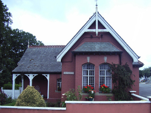 Saint Mary's Cemeterygate lodge · 258 yd
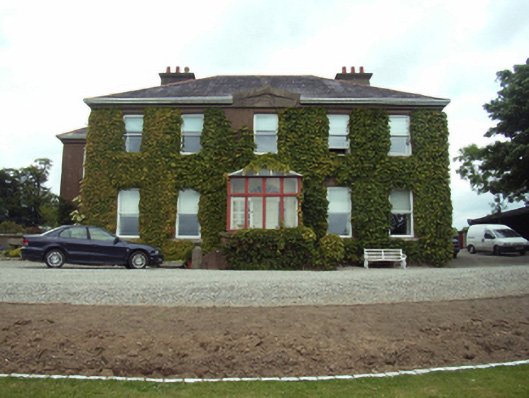 Blackstoops Housefarm house · 378 yd
 U.N. Peace MemorialMonument · 1043 yd
 Stone CherriesMonument · 1046 yd
 Bernard Dunne Memorial BenchMemorial · 1068 yd
 Dandelion StatueMonument · 1070 yd
 Battle of Vinegar HillMajor battlefield · 1307 yd
 Battle of Vinegar Hill, 1798Monument · 1515 yd
 Vinegar HillMountain / peak · 1568 yd
 National 1798 CentreMuseum · 1.1 mi
 Daphney CastleCastle, unclassified · 1.7 mi
 CastleCastle, ringwork · 2.8 mi