
What is recorded here
Situated on a S-facing slope of a NE-SW ridge overlooking the NE-SW River Slaney with the river c. 270m to the S. A rectangular cist (int. dims. 0.6m x 0.4m; D 0.5m) with a stone floor and a single lintel (dims. 1.1m x 0.85m; T 0.3m) was accidentally discovered in 1975 and excavated. It contained the cremation of a juvenille and a vase food vessel. The human remains produced a C14 date range of 2140-1910 BC. The area is now developed as housing on the N outskirts of Enniscorthy. (Raftery 2011; Waddell 1990, 155)
The above description is derived from the published 'Archaeological Inventory of County Wexford' (Dublin: Stationery Office, 1996).
From the National Monuments Service (Archaeological Survey of Ireland) record WX020-030
Places near here
Photo credits
- National Inventory of Architectural Heritage
- Darrin Antrobus, Wikimedia Commons · CC BY-SA 2.0
- John M, Wikimedia Commons · CC BY-SA 2.0
- MikeWest Wexford, Wikimedia Commons · CC BY-SA 4.0
- Colin Park, Geograph · CC BY-SA 2.0
- Poleary91, Wikimedia Commons · CC BY-SA 4.0
 Saint Mary's CemeteryGraveyard/cemetery · 215 yd
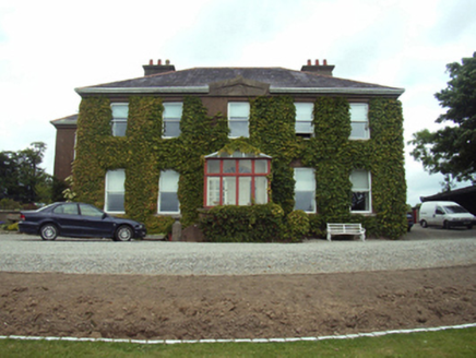 Blackstoops HouseFarm house · 378 yd
 Battlefield in EnniscorthyBattlefield · 1008 ydU.n. Peace MemorialMonument · 1043 ydStone CherriesMonument · 1046 ydBernard Dunne Memorial BenchMemorial · 1068 yd
 Battle of EnniscorthyBattle · 1218 yd
 1798 MemorialStatue · 1247 yd
 Enniscorthy CastleMuseum · 1272 yd
 IndicatedCastle, tower house · 1275 yd
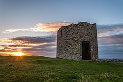 Windmill (in ruins)Windmill · 1555 yd
 Vinegar HillMountain / peak · 1568 yd
More archaeology and monuments in County Wexford · All of County Wexford

What do you know about this place?Tap to add a comment or ask a question