What is recorded here
Situated on a natural rise on top of a broad, flat ridge, sloping slightly to NNE, in upland pasture; extensive views in all directions. A raised mound (TN033-0390010, truncated by a N-S field boundary on the E side. The site is enclosed by a narrow, deep, water-logged fosse and a well-preserved outer bank. In the SW quadrant there is a large prostrate boulder, split in two, with a hollow beneath. The stone, composed of shaley limestone, tapers towards the SW end and is possibly the capstone of a cist (TN033-039002).
Compiled by: Caimin O'Brien.
Date of upload: 22 September 2008
A Bronze Age cist tomb; likely part of a broader funerary or ritual landscape in upland western Britain. Its position on a prominent ridge suggests ceremonial or symbolic significance, possibly linked to territorial markers or ancestral veneration.
The monument record does not grant public access. Check the route and ask the landowner before entering private land.
- What survives
- Recorded monument
Places near here
 Curreeny National Schoolschool · 624 yd
 KnocknascregganMountain / peak · 1641 yd
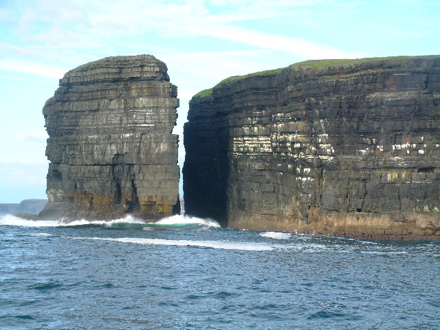 Dermot & Grania's BedArchaeological place · 1.5 mi
 Penal Mass station in Laghile (abington Par.)Penal Mass station · 1.9 mi
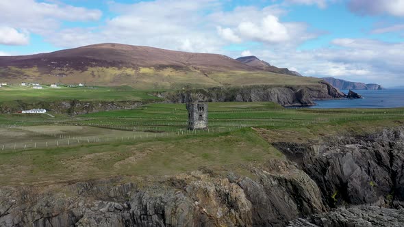 Commaun BegMountain / peak · 1.9 mi
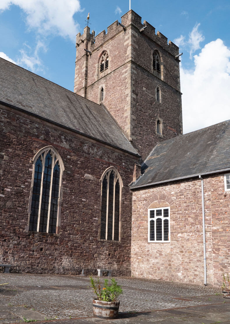 Benedictine Priory (site of)Church · 2.6 mi
 Site of Cloghonan CastleCastle, unclassified · 4.2 mi
 Castle OtwayCastle, tower house · 4.4 mi
 Silvermines ViewpointViewpoint · 4.9 mi
 Sweet ChestnutSweet Chestnut · 5.3 mi
 Killavalla WoodForest · 5.5 mi
 Our Lady Assumed into HeavenMemorial · 5.8 mi