What is recorded here
Located towards the bottom of the S-facing slope of Monalee Hill, with a NW-SE stream c. 40m to the W, and just S of a NE-SW road. According to Kinahan (1879-88, 153) a cist containing an urn was discovered at the E edge of barrow (WX002-038001-) c. 1840.
Compiled by: Michael Moore
Date of upload: 31 Januery, 2012
Cist burial, likely dating to the Early Christian or Bronze Age. Its significance lies in the discovery of an urn, suggesting funerary practices associated with ritual deposition in a landscape marked by later archaeological activity.
The monument record does not grant public access. Check the route and ask the landowner before entering private land.
- What survives
- Recorded monument
Places near here
 Ballythomas HillMountain / peak · 1090 yd
 Monalee HillMountain / peak · 1237 yd
 Embanked enclosureFairy fort / stone ringfort · 1518 yd
 Double-bank enclosureFairy fort / earthen ringfort · 1.2 mi
 CastleCastle, motte · 1.5 mi
 graveyard/cemeterygraveyard/cemetery · 1.8 mi
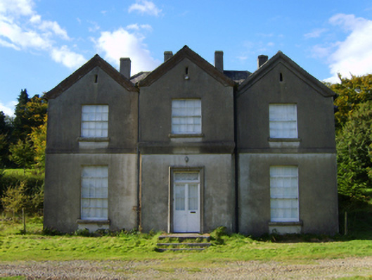 rectory/glebe/vicarage/curate's houserectory/glebe/vicarage/curate's house · 1.9 mi
 White Heaps 1798Memorial · 2.4 mi
 1798 MemorialMemorial · 2.4 mi
 Raheenleagh ForestForest · 2.6 mi
 Persian WalnutPersian Walnut · 3.0 mi
 (Site of) Raymond CastleCastle, unclassified · 3.9 mi