What is recorded here
In the NE corner of a field, in an area of gently undulating pasture. A road bordering the N side of the field lies 2.5m to N of the monument and a private laneway, bordering the E side of the field, lies 1m to E. It consists of a cist-like arrangement of stones comprising a roofstone (1.15m ESE-WNW; 0.85m NNE-SSW; T. 0.25) resting on a pair of matching sidestones 0.6m apart. The cist is aligned approximately N-S. The W sidestone measures 1.1m L, 0.35m T and is 0.8m H on the interior. The E stone measures 1.2m L, 0.4mT and 0.8m H internally. The interior area is partly infilled with small stones. (Morahan 1990, 4)
Compiled by: Paul Walsh
Date of upload: 15 October 2012
A Neolithic cist tomb; likely dates to the 4th–3rd millennium BCE. Its presence indicates early burial practices and settlement in the region, though its wider significance is limited due to lack of detailed archaeological investigation.
The monument record does not grant public access. Check the route and ask the landowner before entering private land.
- What survives
- Recorded monument
Places near here
 IndicatedFairy fort / earthen ringfort · 56 yd
 Enclosure in Lisduff (clanmorris By., Crossboyne Par.)Enclosure · 623 yd
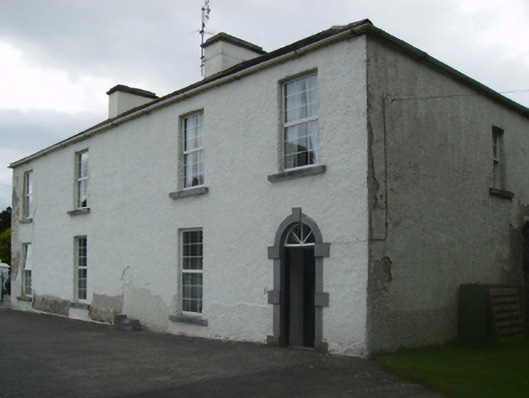 Cuillaun Housefarm house · 1.5 mi
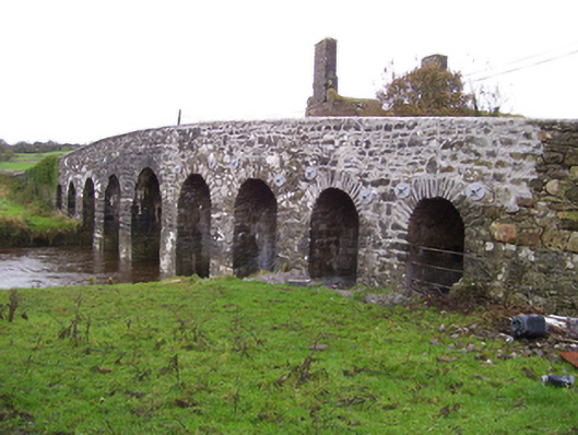 Doonmacreena Bridgebridge · 1.9 mi
 CastleCastle, unclassified · 2.0 mi
 Oak WoodForest · 3.3 mi
 Castlekeel (in ruins)Castle, unclassified · 3.3 mi
 Geoffrey's WoodForest · 4.0 mi
 Land of the GiantsHeritage attraction · 5.3 mi
 Mass RockNamed rock · 9.5 mi
 Enclosure in Lawaus (clanmorris By.)Enclosure · 1.0 mi
 LisatoberArchaeological place · 1.1 mi