
What is recorded here
This truncated rath, probably originally oval or circular in plan, survives as a slightly raised, roughly semicircular area (c. 50m E–W; c. 30m N–S bank to road) defined at W−NE by an arc of bank (Wth 1.7-3m; int. H 0.25-0.5m; ext. H 0.6-0.85m). The bank is of earth and stone, with an external kerb of large stones in parts at W–N. The stone kerb may be a later modification. At NW–NNE the bank has a stepped profile. At NE-E the bank has been replaced by a N–S post and wire fence which borders a residential property. The S portion of the rath is truncated by the E–W Ballindine-Irishtown road (R328). According to local information, there is a Man-made underground passage (MA112-045001) in the W half of the interior.
In 2001 during archaeological monitoring (01E0314) of pipe-laying on the on the Lough Mask Regional Water Supply Scheme (2001-2002), two shallow cuts (max. Wth 2.85m; max. D 1m), c. 30m apart, were exposed in section in the pipe trench (Wth c. 1m) at a depth of c. 1m below road level (Guinan 2015, 126-127). The pipe trench was located on the S side of the E-W Ballindine-Irishtown road (R328), which truncates the S side of the rath, and the cuts were interpreted as the surviving basal sections of the enclosing fosse on the S side of the rath (MA112-045----). Both features were recorded and preserved in situ. Radiocarbon analysis of a sample of charcoal taken from the base of the E cut produced a date of 115 +/- 50 BP (780-1020 AD calibrated) (Guinan ibid., 126-127). In 2002 further evidence of the enclosing elements of the rath were uncovered during road-widening adjacent to the rath (Guinan 2010, 319-320, no. 1224; 2015, 127). A narrow strip (3m N−S; 40m E−W) of land was excavated parallel to, and immediately N of, the E-W road. Evidence for two fosses were uncovered, one internal to the rath bank, and the other external. The internal fosse (Wth 3.6m; D 1.9m) had a V-shaped cut which was filled with alternate layers of stones and silt. The external fosse (Wth 1.9m; D 2.05m) had vertical sides and a flat base that sloped to S. A shallow, subcircular pit (1.65m E−W; 0.85m N−S; D 0.25m) was also uncovered, containing layers of heat reddened clay, charcoal and burnt timber fragments. Finds recovered during the excavation included a perforated stone bead, several lithics, and animal bones (Guinan 2010, 319-320, no. 1224).
Compiled by: Jane O'Shaughnessy
Date of upload: 11 April 2016
The monument record does not grant public access. Check the route and ask the landowner before entering private land.
- What survives
- Recorded monument
Places near here
 Enclosure in Lisduff (clanmorris By., Crossboyne Par.)Enclosure · 569 yd
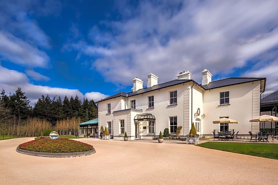 Enclosure in Lawaus (clanmorris By.)Enclosure · 1757 yd
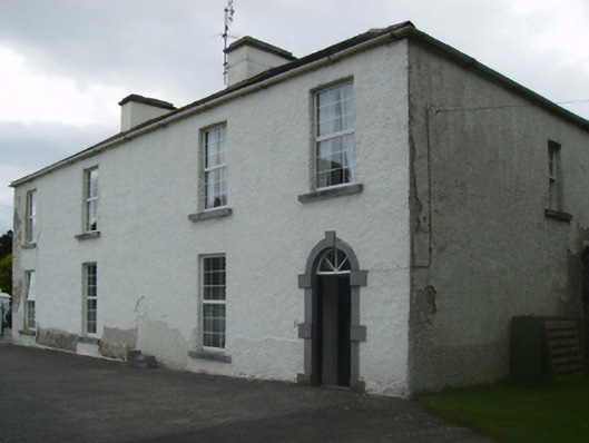 Cuillaun Housefarm house · 1.5 mi
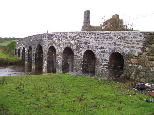 Doonmacreena Bridgebridge · 1.9 mi
 CastleCastle, unclassified · 1.9 mi
 Oak WoodForest · 3.3 mi
 Castlekeel (in ruins)Castle, unclassified · 3.3 mi
 Geoffrey's WoodForest · 4.0 mi
 Land of the GiantsHeritage attraction · 5.3 mi
 Mass RockNamed rock · 9.5 mi
 LisatoberArchaeological place · 1.2 mi
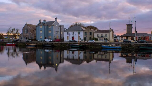 Leacht cuimhne in ConagherLeacht cuimhne · 1.6 mi
Other information
Photo: Credit not shown in the picture search · Rights wording not checked; contact us if this picture should be removed