
What is recorded here
Situated on the crest of a hill overlooking the Skerries coastline. Discovered in 1922 during ploughing operations. The capstone was visible in 1939 (NMI File: 11/5/1939).Located on lip of high ridge. Fantastic views north to the Mourne mountains, east over the islands of Skerries and southeast to Lambay Not visible at ground level.
Compiled by: Geraldine Stout
Updated by: Christine Baker
Date of upload: 14 November 2014
A Neolithic cist tomb, dating to approximately 4000–2500 BCE. Its location on a prominent coastal ridge suggests it may have had ritual or symbolic significance related to landscape and visibility.
The monument record does not grant public access. Check the route and ask the landowner before entering private land.
- What survives
- Recorded monument
Places near here
 Enclosure in Baltrasna (balrothery East By.)Enclosure · 205 yd
 Burial in Grange (balrothery East By., Holmpatrick Ed)Burial · 376 yd
 KilnKiln, corn-drying · 718 yd
 BBQ AreaPicnic place · 772 yd
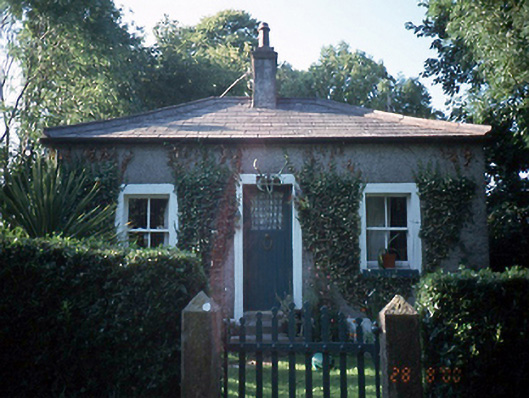 Milverton Hallgate lodge · 855 yd
 Black Hill NurseryWood · 915 yd
 Ardgillan Castle and DemesneHeritage attraction · 1318 yd
 Flat cemetery in BalcunninFlat cemetery · 1353 yd
 New PlantationWood · 1521 yd
 Flat cemetery in DarcystownFlat cemetery · 1.3 mi
 Man O'War HillMountain / peak · 1.4 mi
 Balrothery Heritage CentreMuseum · 1.6 mi
Other information
Photo: Credit not shown in the picture search · Rights wording not checked; contact us if this picture should be removed