What is recorded here
Situated towards the top of the S-facing slope of Boley Hill and c. 500m E of a col on an ENE-WSW ridge. A short cist was discovered in 1952 and excavated. The cist (int. dims. 0.5m x 0.4m; D 0.4m) was composed of four stones (H 0.17-0.3m) with some dry-walling on top, and a smaller stone closing one corner. It had a stone floor and a capstone. A vase food vessel was on top of a clay deposit that contained the cremated remains of two young adults and a faiance bead. (Hartnett and Prendergast 1953; Culleton 1984, 34; Waddell 1990, 136)
The above description is derived from the published 'Archaeological Inventory of County Wexford' (Dublin: Stationery Office, 1996). In certain instances the entries have been revised and updated in the light of recent research.
Compiled by: Michael Moore
Date of upload/revision: 21 May, 2012
A Neolithic cist tomb, dating to the 4th–3rd millennium BCE. Its presence indicates early burial practices and settlement in the Boley Hill area.
The monument record does not grant public access. Check the route and ask the landowner before entering private land.
- What survives
- Recorded monument
Places near here
 Enclosure in Ballyduff (gorey By., Ballycanew Ed)Enclosure · 374 yd
 Boley HillMountain / peak · 702 yd
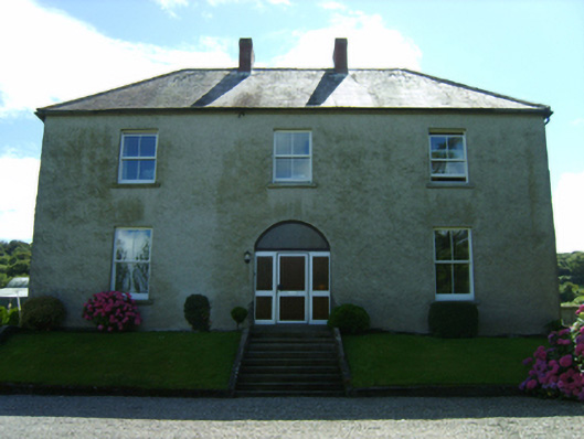 farm housefarm house · 824 yd
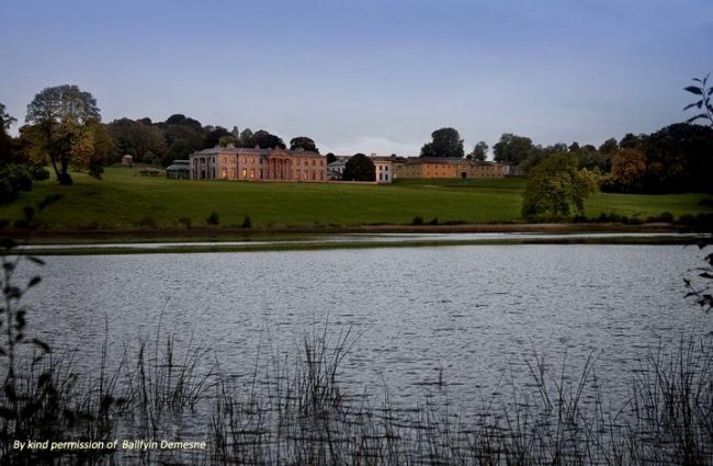 Embanked enclosureFairy fort / ringfort · 921 yd
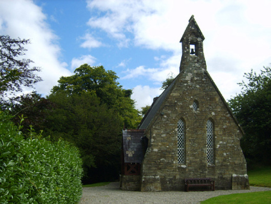 Holy Trinity Church (Kilbride)church/chapel · 1562 yd
 Carrigroe HillMountain / peak · 1.5 mi
 Giants BedNamed rock · 2.0 mi
 Barnadown WoodWood · 2.7 mi
 The GroveWood · 2.9 mi
 Father Murphy CentreHeritage attraction · 4.0 mi
 Bird BoxesVisitor information · 4.6 mi
 Birds of PreyVisitor information · 4.7 mi