What is recorded here
The following description is derived from both the published 'Archaeological Inventory of County Louth' (Dublin: Stationery Office, 1986) and the 'Archaeological Survey of County Louth' (Dublin: Stationery Office, 1991). In certain instances the entries have been revised and updated in the light of recent research.
Date of upload/revision: 17 July 2007
Natural outcrop rise with evidence of large-scale modern quarrying. The site is known locally as 'the Roilig' and reputed to be a graveyard. A cist containing a skeleton was reputedly found during ploughing. (CLAJ 1930, 181)
A cist burial, likely dating to the Early Christian or medieval period, typically used for inhumation burials. Its significance lies in providing insights into local burial practices and funerary customs in the region.
The monument record does not grant public access. Check the route and ask the landowner before entering private land.
- What survives
- Recorded monument
Places near here
 Enclosure in Roche (dundalk Upr By; Roche Par.)Enclosure · 486 yd
 Enclosure in BallinfuilEnclosure · 618 yd
 Roche CastleCastle, Anglo-Norman masonry castle · 754 yd
 Bawn in Shortstone EastBawn · 1188 yd
 Church in KaneChurch · 1200 yd
 Sky HillMountain / peak · 1373 yd
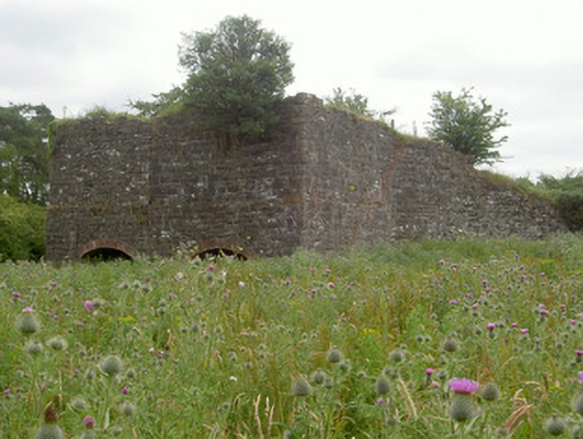 kilnkiln · 1381 yd
 Ballsmill Amenity LandPicnic place · 1.6 mi
 Forkhill Greenspace PathwayWalking route · 2.6 mi
 TievecromMountain / peak · 2.8 mi
 Ring of Gullion Way - ForkhillVisitor information · 2.8 mi
 Mass Rock Loop TrailWalking route · 3.1 mi