What is recorded here
Ardnamoghill holds a rectangular cist buried beneath good farmland, waiting for a plough to reveal its shallow depth and replaced capstone. The chamber contained no bones or treasure, only soil marked differently at the bottom, suggesting human hands shaped the pit before forgetting what they kept inside.
There is no sign of the ruined 'Fort' (DG055-013001-) marked on the 1st edition of the OS 6-inch map. It was situated on a level shoulder of good land. Some time ago a rectangular stone-lined pit 3ft × 2ft 6in and 1ft 6in deep, covered by a capstone, was discovered while ploughing. It contained nothing beyond 'A different colour soil in the bottom'. The capstone was replaced.
The above description was derived from the 'Archaeological Survey of County Donegal. A description of the field antiquities of the County from the Mesolithic Period to the 17th century.' Compiled by: Brian Lacey with Eamon Cody, Claire Cotter, Judy Cuppage, Noel Dunne, Vincent Hurley, Celie O'Rahilly, Paul Walsh and Seán Ó Nualláin (Lifford: Donegal County Council, 1983). In certain instances the entries have been revised and updated.
Date of upload: 22 September 2008
The monument record does not grant public access. Check the route and ask the landowner before entering private land.
- What survives
- Recorded monument
Places near here
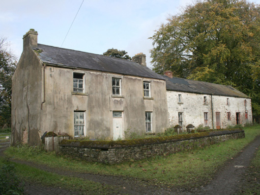 miller's housemiller's house · 604 yd
 Fairy fort / ringfort in AltaghaderryFairy fort / ringfort · 1230 yd
 ENCLOSURE in KilleaENCLOSURE · 1263 yd
 Prospect Hillhouse · 1340 yd
 CastleCastle, unclassified · 1.3 mi
 Emmery Celtic CrossWood · 2.9 mi
 Prehen WoodsForest · 3.0 mi
 Gortmonly HillMountain / peak · 3.4 mi
 Double BastionViewpoint · 3.8 mi
 Seán Ó CianáinMemorial · 3.9 mi
 Church BastionViewpoint · 3.9 mi
 H-Block MemorialMemorial · 3.9 mi