What is recorded here
The official Northern Ireland record identifies this as CIST & ALIGNMENT. Recorded period: PREHISTORIC; BRONZE AGE. Recorded protection: Scheduled. The official map point was placed at the centre of the recorded archaeological site from the source map reference.
Bronze Age cist and stone alignment; significant as part of a broader ritual or funerary landscape in prehistoric Northern Ireland.
The monument record does not grant public access. Check the route and ask the landowner before entering private land.
- What survives
- Recorded monument
Places near here
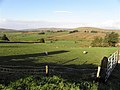 Enclosure in BroughdergEnclosure · 790 yd
 Beaghmore Stone Circle EArchaeological place · 1.7 mi
 Beaghmore Stone CirclesVisitor information · 1.8 mi
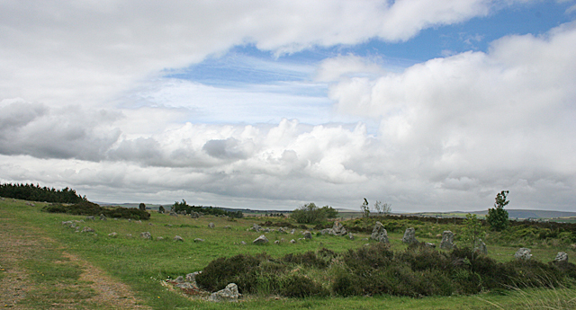 BeaghmoreArchaeological place · 1.8 mi
 Evishessan BridgeBridge · 2.4 mi
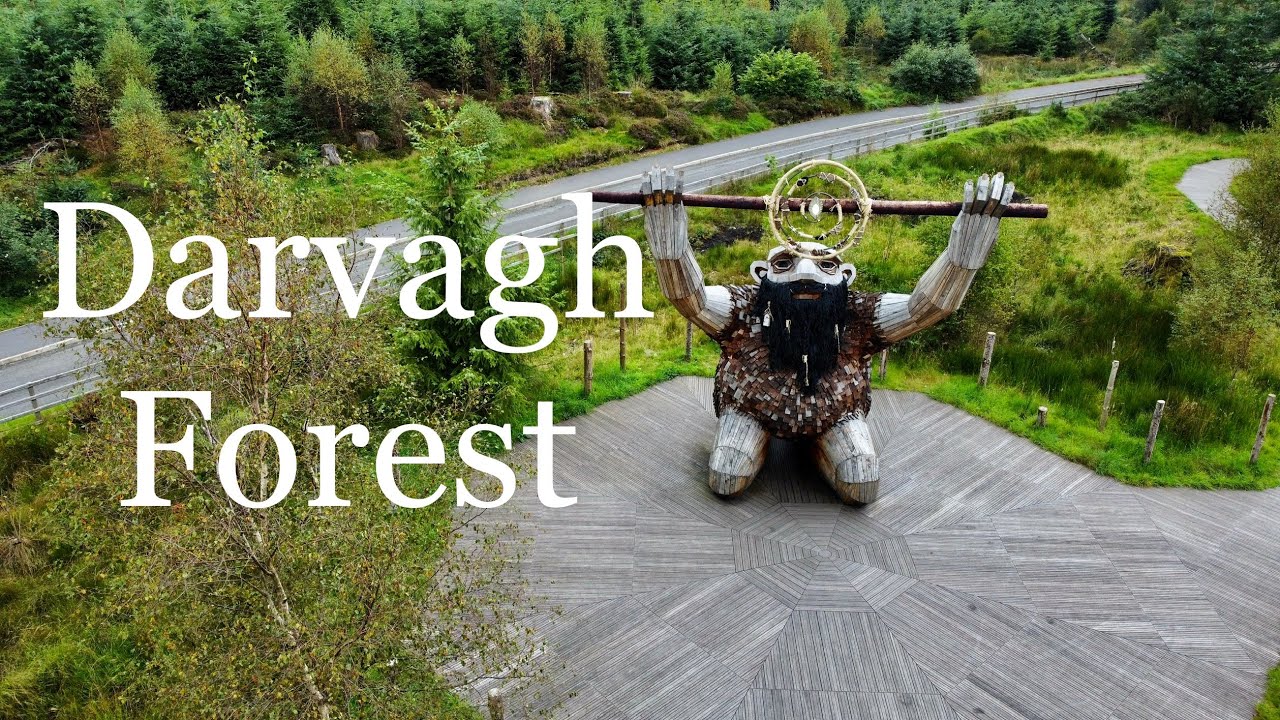 Davagh ForestForest · 2.5 mi
 CarnanellyMountain / peak · 3.2 mi
 Formil WoodForest · 3.3 mi
 OughtmoreMountain / peak · 3.5 mi
 Lough FeaWalking route · 5.1 mi
 St Columba's ChurchChurch · 6.9 mi
 Craig-na-ShokeCliff · 9.4 mi