
What is recorded here
Map note: Cipeagal Bheag, a mountain or peak, is mapped in Na h-Eileanan Siar, Scotland. A hill can keep its own counsel; the surrounding map is ready to explore.
From OpenStreetMap (© OpenStreetMap contributors) n2870512229
Places near here
Photo credits
- Colin Kinnear, Wikimedia Commons · CC BY-SA 2.0
- Bob Embleton, Wikimedia Commons · CC BY-SA 2.0
- JJM, Wikimedia Commons · CC BY-SA 2.0
- Richard Webb, Wikimedia Commons · CC BY-SA 2.0
- Julian Paren, Wikimedia Commons · CC BY-SA 2.0
- Rude Health, Wikimedia Commons · CC BY-SA 2.0
- Maker not stated on source page, www.wilderwithyou.com
 Loch ClaidhBay · 1.0 mi
 CaitesealMountain / peak · 1.4 mi
 Tòb SmuaisibhigBay · 1.8 miLewis, Tob SmuaisibhigTownship (possible) · 1.8 mi
 Lewis, Gleann LacasdailEnclosure, Head Dyke (post Medieval) (possible), Shieling Hut(s) (post Medieval) (possible) · 1.9 mi
 Beinn MhòrMountain / peak · 1.9 mi
 Cottage Loch SeaforthOld home or work place · 2.7 mi
 Mountain terrain above Loch SeaforthMountain or hill · 2.8 mi
 Muaitheabhal Summit CairnAncient tomb or cairn · 3.1 mi
 Todrun MountainMountain or hill · 3.2 mi
 The beach at RhenigidaleBeach · 3.2 mi
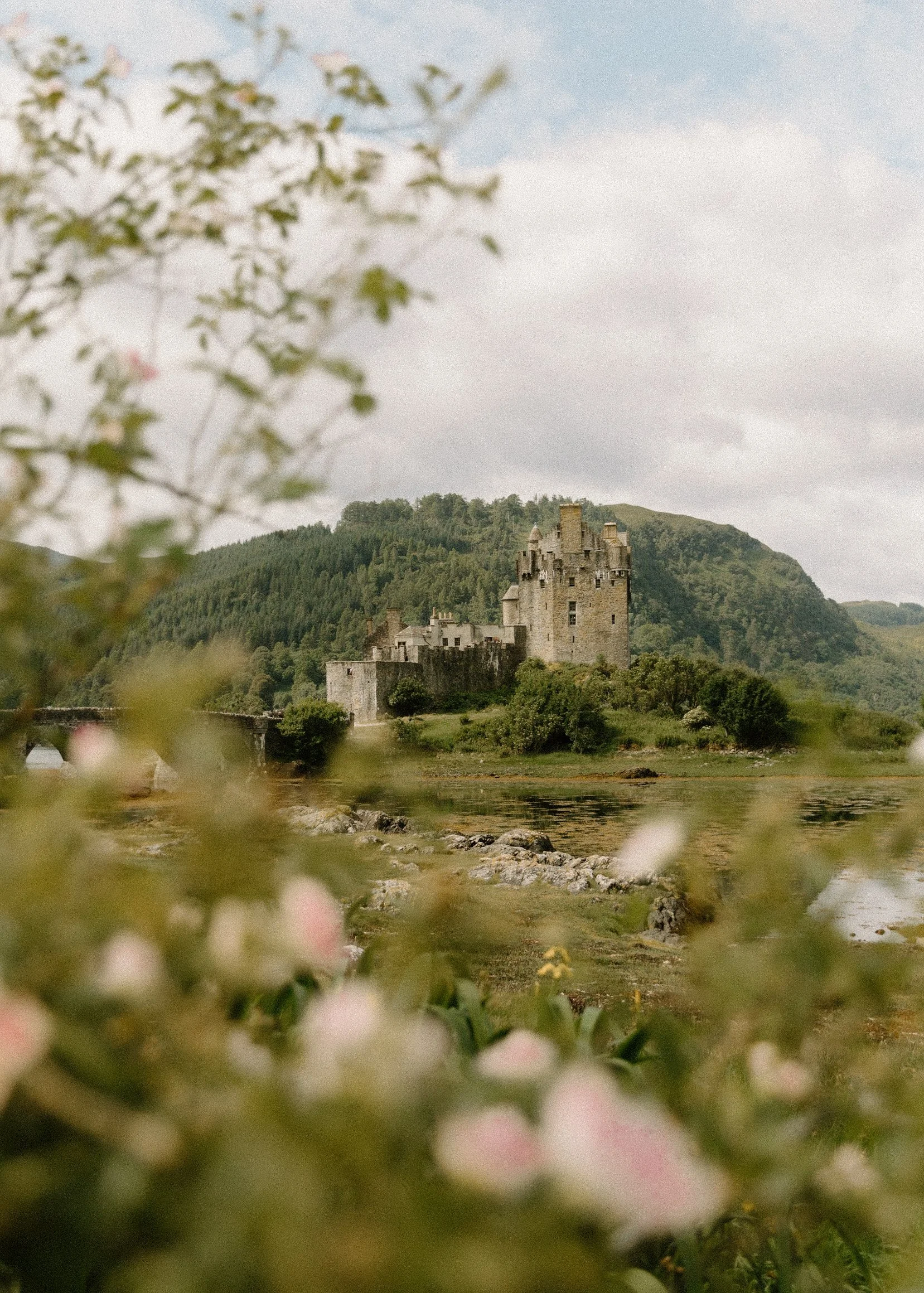 Eilean RèinigeadalIslet · 3.5 mi
More mountains and hills in Na h-Eileanan Siar · All of Na h-Eileanan Siar

What do you know about this place?Tap to add a comment or ask a question