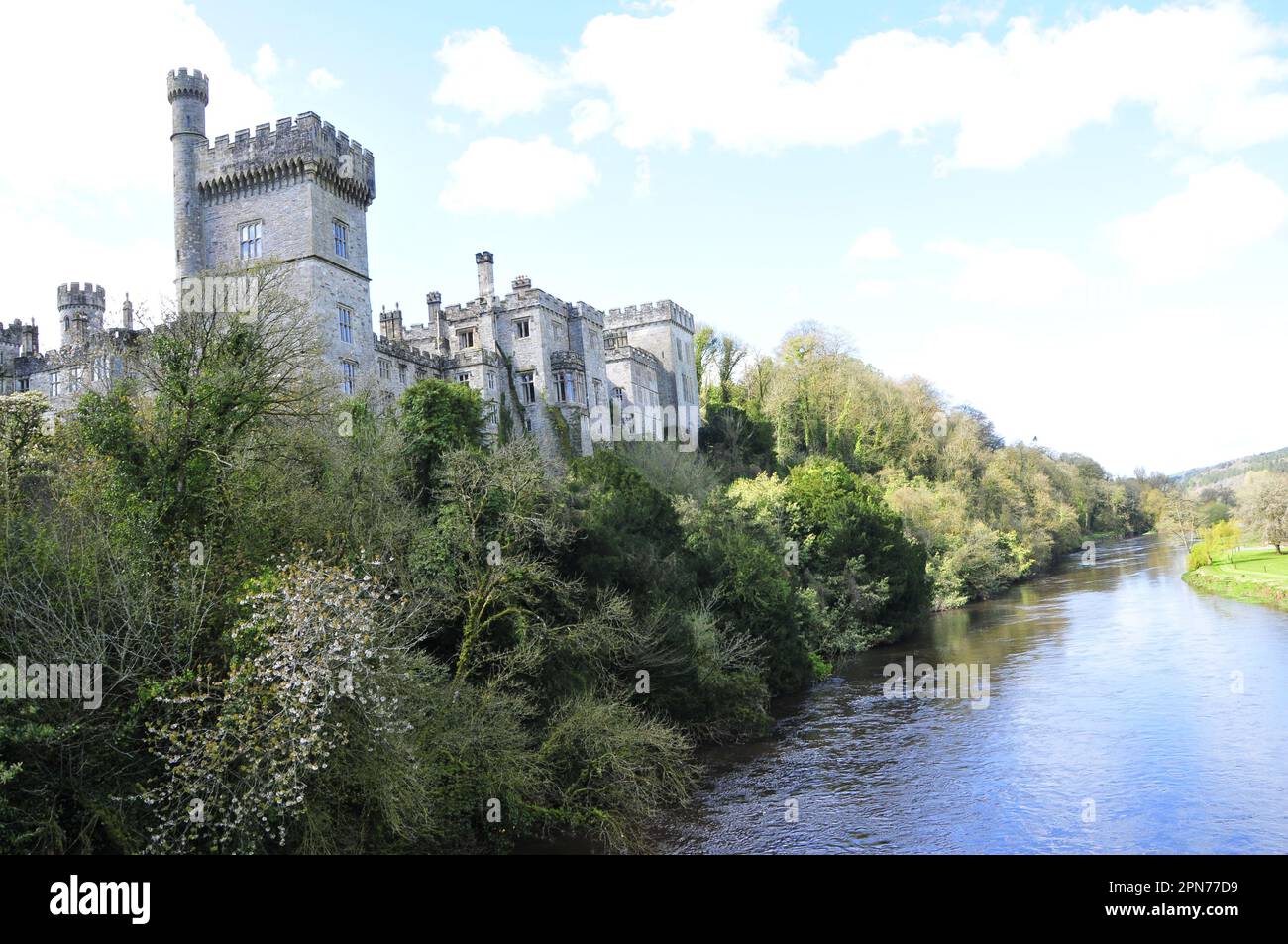
What is recorded here
Cill (Site of) is an enclosure in Lyre East (decies Without Drum By.), County Waterford, Ireland. The 1999 inventory recorded a subcircular scrub-covered area measuring 30 metres northeast to southwest and 27 metres northwest to southeast on a northwest-facing slope. A one-metre-high scarp ran southwest to northeast, a stone-faced bank ran northeast to south, and a straight field bank closed the remaining edge. Local tradition identified the site as an old burial ground, although no burial evidence emerged.
Marked only on the 1925 ed. of the OS 6-inch map and known locally as an old burial ground (OS Name Books). Situated on a NW-facing slope. Subcircular scrub-covered area (dims. 30m NE-SW; 27m NW-SE) defined by a scarp (H 1m) SW-NE, a stone-faced bank (Wth 1m; int. H 1.3m; ext. H 0.3m) NE-S and a straight field bank elsewhere. There is no evidence of burial.
The above description is derived from the published 'Archaeological Inventory of County Waterford' (Dublin: Stationery Office, 1999). In certain instances the entries have been revised and updated in the light of recent research.
Date of upload/revision: 23 December 2008
The monument record does not grant public access. Check the route and ask the landowner before entering private land.
- What survives
- Recorded monument
Places near here
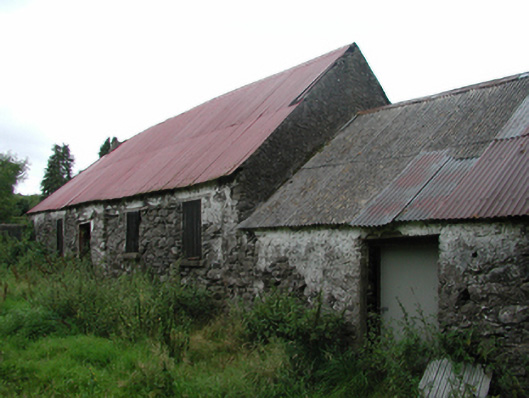 Nell's Cottagefarm house · 407 yd
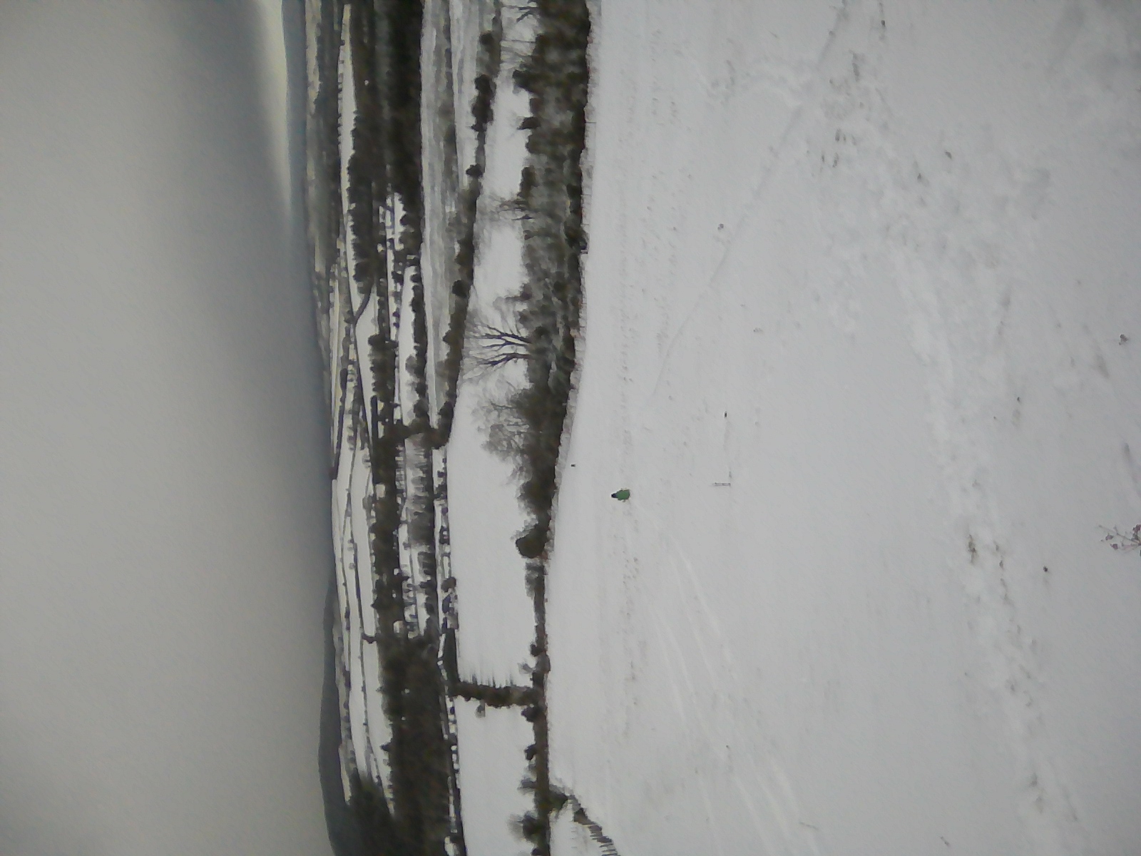 IndicatedEnclosure · 976 yd
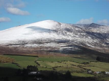 Hut site in KnockanaffrinHut site · 1123 yd
 CillChurch · 1256 yd
 Siglloges LoopWalking route · 1.3 mi
 Coumlara LoopWalking route · 1.5 mi
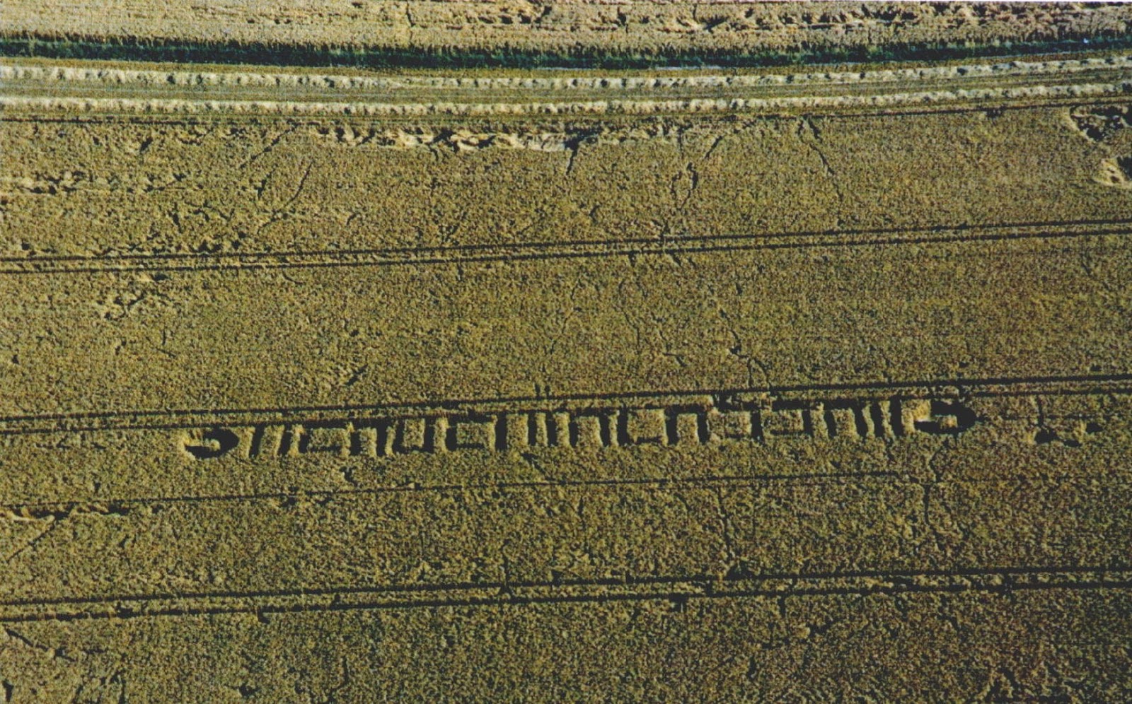 Milk HillMountain / peak · 1.9 mi
 Knocknaree WoodForest · 1.9 mi
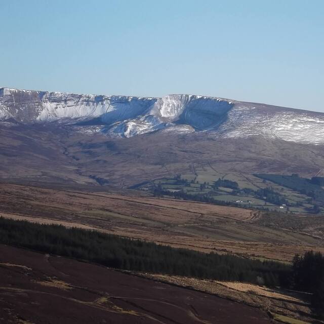 Coumfea West TopMountain / peak · 2.0 mi
 Turraphuca WoodForest · 2.5 mi
 Mahon ValleyCliff · 2.8 mi
 Curraheen TrailsVisitor information · 3.1 mi
Other information
Photo: Credit not shown in the picture search · Rights wording not checked; contact us if this picture should be removed