
What is recorded here
The official Northern Ireland record identifies this as a Grade B listed building. Current recorded use: School.
The official record and map point do not grant access. Many historic buildings are privately owned; view them only from public ground unless the owner allows entry.
Places near here
_-_geograph.org.uk_-_4097769.jpg?width=1280) St. John's ChurchChurch · 65 yd
St. John's ChurchChurch · 65 yd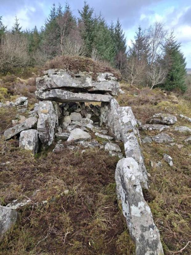 ENCLOSURE & NEOLITHIC HEARTH in CaledonENCLOSURE & NEOLITHIC HEARTH · 73 yd
 Caledon National SchoolSchool · 108 yd
 ENCLOSURE in DrumessENCLOSURE · 1024 yd
 Harry LaveryMemorial · 2.6 mi
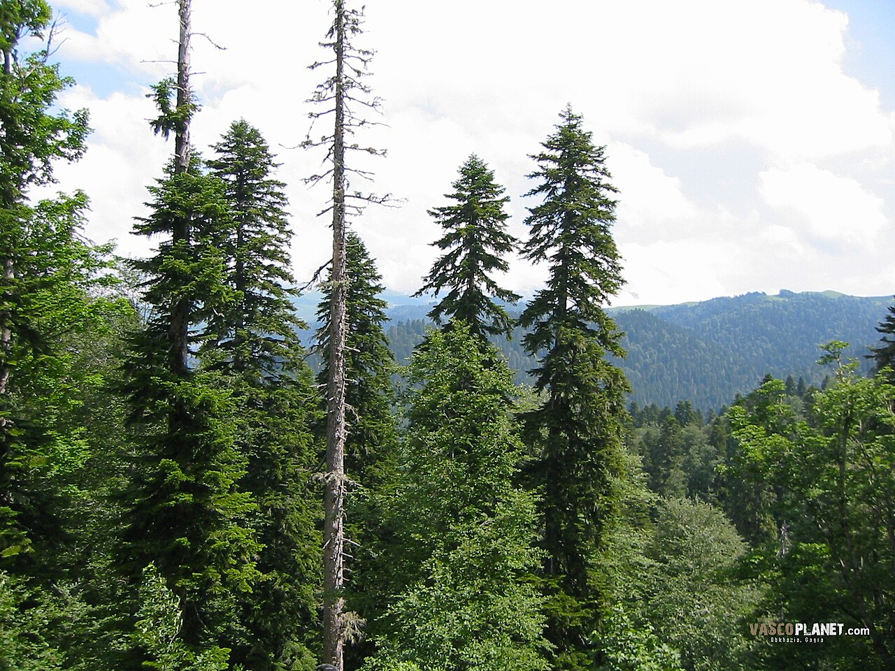 Caucasian FirCaucasian Fir · 3.0 mi
 Sitka SpruceSitka Spruce · 3.0 mi
 Emyvale Heritage TrailVisitor information · 5.0 mi
 Battle of BenburbMajor battlefield · 5.5 mi
 Navan FortArchaeological place · 5.6 mi
 CrannogIsland · 6.1 mi
 Mullacreevie ambushambush · 6.7 mi
Other information
Photo: Kenneth Allen · CC BY-SA 2.0