What is recorded here
Just outside the Gowran town wall, a leper hospital and attached chapel absorbed the excluded until about 1840, when the chapel remains were cleared and trees were planted in the angle where the roads to Bagnalstown and Goresbridge diverge. A 1578 grant recognised the place as a shelter for poor leprous people, while a 1604 plague killed many Gowran residents, suggesting the site long marked the boundary between the living town and those set apart in suffering. A thunderstorm in the 1960s or 1970s is said to have torn up trees and exposed skeletons beneath, leaving the church and hospital visible only in what the earth still holds.
Located c. 50m NE of the former ‘Magdalan Gate’ at the E end of Gowran town, which is indicated on a 1710/11 map of Gowran (White). According to Carrigan (1905, vol. 3, 410) the hospital was, ‘just outside the town wall. About 1840 the remains of the chapel (KK020-060012-) attached to this Magdalen were removed and trees planted on the site. The exact spot occupied by the chapel is the angle formed by the public roads to Bagnalstown and Goresbridge, at their point of divergence opposite the pike house’.
Carrigan (1905, vol. 3, 242, 410) gives an extract from a grant of 1578 to, ‘Sir Edm. Dowyre or Downye; of the custody, mastership and over-sight of the spittle houses or magdaleines of Leghlin and Balligawran, [now Gowran], for the relief of the poor leprous people dwelling in those places’. According to Sparks (1950, 44), ‘In the year 1604 a great plague broke out, from which a great many of the Gowran people died’.
During a thunderstorm in the 1960s/70s a number of trees were uprooted revealing skeletons underneath (pers. comm. Mary Moran, 6 July 1992). There is no visible trace of the hospital above ground.
Compiled by: Jean Farrelly
Date of upload: 24 March 2021
This remains an important historical record, but the official description says the monument is no longer visible or has been destroyed. The monument record does not grant public access. Check the route and ask the landowner before entering private land.
- What survives
- No visible remains or recorded as destroyed
Places near here
 CrossCross, Market cross · 253 yd
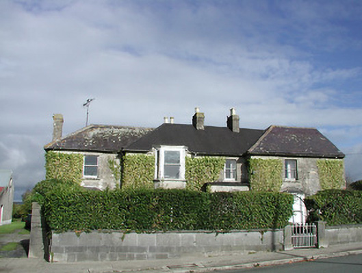 Gowran Househouse · 255 yd
 Gowran Courthousecourt house · 292 yd
 Castle (Site of)Castle, unclassified · 310 yd
 IndicatedTown defences · 474 yd
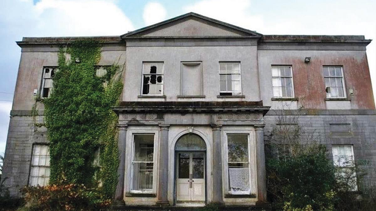 Bawn in Gowran DemesneBawn · 997 yd
 HawthornHawthorn · 3.3 mi
 The Pey FieldForest · 3.5 mi
 Tullaherin Church and Round TowerVisitor information · 4.7 mi
 St. Mogarra’s WellSpring · 4.7 mi
 Kilbline GraveyardArchaeological place · 5.6 mi
 Time CapsuleMemorial · 5.8 mi