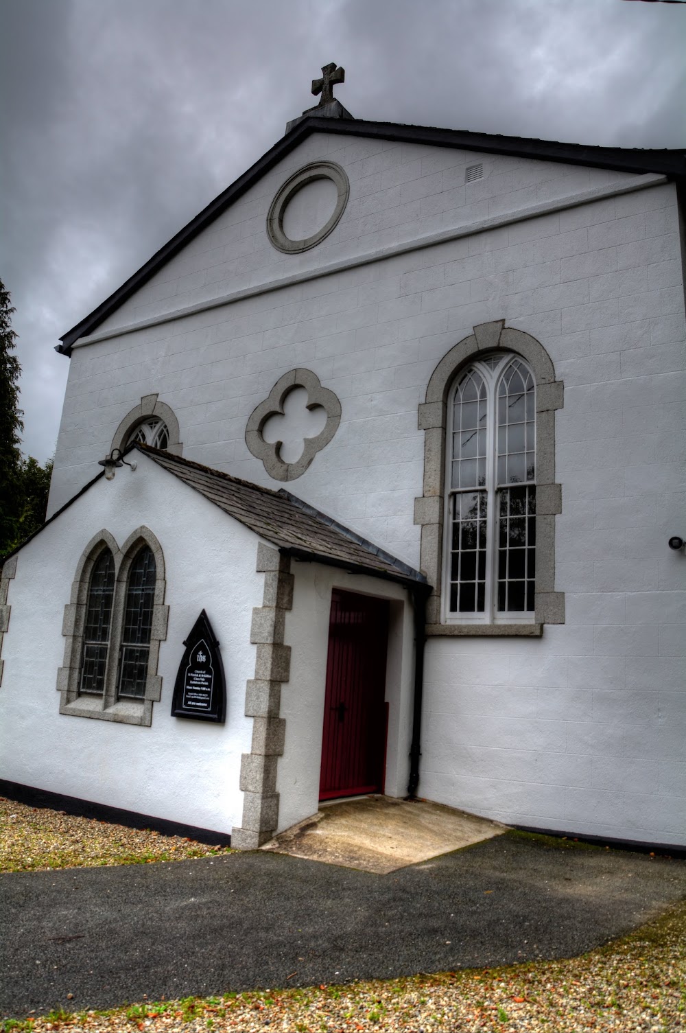
What is recorded here
Situated on level ground with gentle E-facing slopes above and below the site. Traditionally the site of a monastic foundation associated with the Welsh saint Pol (Paul) and later belonging to the Templars and subsequently the Hospitallers in the 16th century. Not visible at ground level. Bones are believed locally to have been found during the construction of an extension to the adjacent house in the 1950s (Price 1967, 435). A dry fosse on the N edge of the garden could represent the N boundary of the graveyard. A holy well (WI031-008----), also dedicated to St Paul, lies c. 100m to the E in Kilpoole Lower.
The above description is derived from the published 'Archaeological Inventory of County Wicklow' (Dublin: Stationery Office, 1997). In certain instances the entries have been revised and updated in the light of recent research.
Date of upload/revision: 17 December 2008
The monument record does not grant public access. Check the route and ask the landowner before entering private land.
- What survives
- Recorded monument
Places near here
 St. Pauls WellHoly well · 126 yd
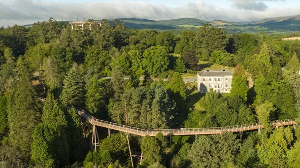 Enclosure in Kilpoole LowerEnclosure · 195 yd
 Kilpoole BeachBeach / strand · 1064 yd
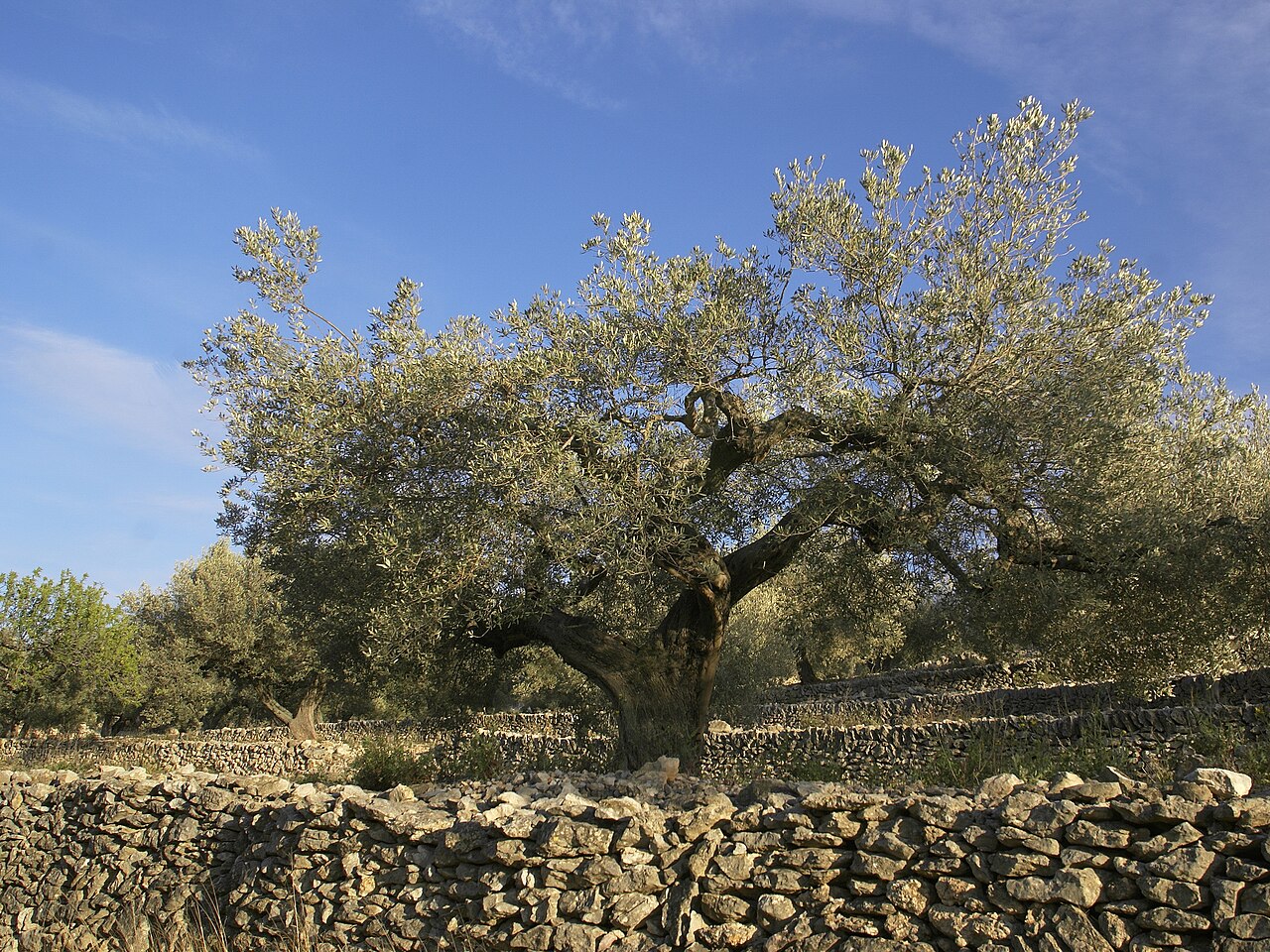 Olive treeOlive tree · 1194 yd
 Silver StrandBeach / strand · 1.0 mi
 Church (in Ruins), G. Yd.Church · 1.4 mi
 Glen Beach Cliff WalkWalking route · 1.9 mi
 Wicklow Head LighthouseLighthouse · 2.0 mi
 Black Castle (in ruin)Castle, Anglo-Norman masonry castle · 2.5 mi
 Round MountCastle, motte · 2.8 mi
 Highclere hollyHighclere holly · 2.9 mi
 Carrick MountainMountain / peak · 6.2 mi
Other information
Photo: Credit not shown in the picture search · Rights wording not checked; contact us if this picture should be removed