What is recorded here
Graves and forgotten worship still occupy the same ground. The church vanished so completely that even its foundations resisted discovery in the twentieth century. What remains is a graveyard holding the shape of a building nobody can now picture.
In graveyard (14597). Shown on 1842, 1905 and 1935 OS 6-inch maps as 'site of' church. Power (1932, 63) described foundations of church as 'at present almost untraceable'. No visible surface trace.
The above description is derived from the published 'Archaeological Inventory of County Cork. Volume 4: North Cork' (Dublin: Stationery Office, 2000). In certain instances the entries have been revised and updated in the light of recent research.
Date of upload/revision: 14 January 2009
The monument record does not grant public access. Check the route and ask the landowner before entering private land.
- What survives
- Recorded monument
Places near here
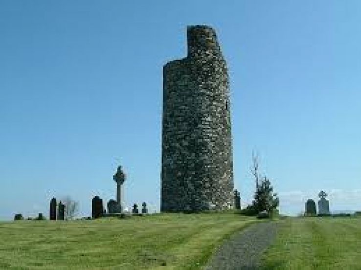 Grave YdGraveyard · 14 yd
 Folacht FiadhFulacht fia · 608 yd
 Caherdrinny Castle (in Ruins)Castle, tower house · 1698 yd
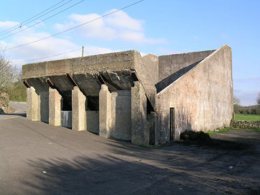 Ballindangan Handball Alleyhandball alley · 1.4 mi
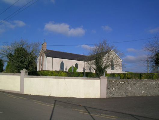 Church of the Immaculate Conceptionchurch/chapel · 1.4 mi
 FlagCave · 1.7 mi
 Carriganoura Castle (in Ruins)Castle, tower house · 2.3 mi
 Statue of Saint FanahanMemorial · 2.4 mi
 Mitchelstown Town MapVisitor information · 2.5 mi
 John MandevilleMemorial · 2.5 mi
 St Dominick's WellSpring · 3.9 mi
 Kilclooney WoodWood · 4.9 mi