What is recorded here
Caherlag’s ancient parish church vanished so completely that no wall or foundation remains visible, though a 1902 map still drew its north and east edges. By 1700 its stone-and-clay walls stood half down, and by 1918 Power called it almost gone. The graveyard above keeps what the church lost: burials, prayer and the patience of earth.
In graveyard (CO075-005001-). No visible surface trace of church, the N and E walls of which are shown on the 1902 OS 6-inch map and which Power (1918, 33) described as 'almost completely disappeared'; ancient parish church of Caherlag; in 1700 (Brady 1863, vol. 1, 50) described it as 'built with stone and clay; the walls half down'.
The above description is derived from the published 'Archaeological Inventory of County Cork. Volume 2: East and South Cork' (Dublin: Stationery Office, 1994). In certain instances the entries have been revised and updated in the light of recent research.
Date of upload/revision: 14 January 2009
The monument record does not grant public access. Check the route and ask the landowner before entering private land.
- What survives
- Recorded monument
Places near here
 Grave YardGraveyard · 30 yd
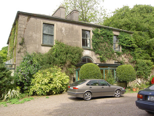 Marysborough Housecountry house · 636 yd
 Glenburne Housecountry house · 764 yd
 Old Court (Site of)Castle, unclassified · 1.0 mi
 Carberrytown WoodWood · 1.2 mi
 Ashbourne ParkWood · 1.6 mi
 Castle (Site of)Castle, unclassified · 2.0 mi
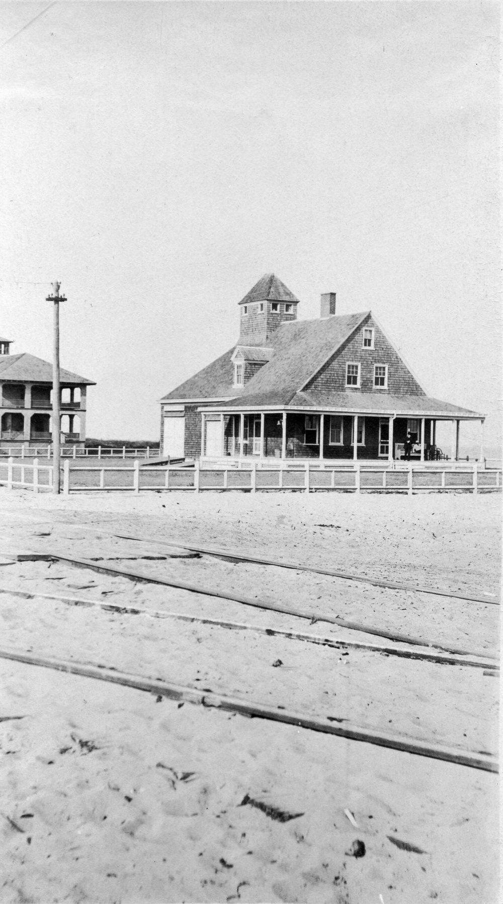 Old coast guard station ruinRuins · 2.3 mi
 Cork WalksVisitor information · 4.4 mi
 Lavitts QuayMemorial · 4.7 mi
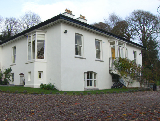 Mount Patrickhouse · 1030 yd