What is recorded here
No wall, tower or doorway remains to mark the great church of the Holy Trinity, yet the graveyard still holds its shape beside the Nore. A door arch dated 1604 now sets the entrance of the opposite house, while the bell and flagstones left for St Mary’s Church Kilkenny. The building was thrown down about 1875, removing its visible frame but not the reason the ground remembers it.
On gently sloping land at the edge of steep, though not very high, drop down to the River Nore flood plain, in rolling pasture. The Nore flows NW-SE c. 50m SW of the graveyard. There are fair to good views in all directions, with land rising gently to the NE and W. The church is located in the N portion of an irregularly shaped graveyard (KK14-058002-).
According to O’Kelly (1969, 40) this is the location of, ‘the ancient parish church recorded as Domhnach Mór na Trionóide Naomhtha e.e. great church of the Holy Trinity’. Carrigan (1905, vol. 3, 271) states that there are, ‘no remains of the ancient church of the Holy Trinity’ and that the, ‘Protestant church that occupied its site was cleared away about 1875’. The OS Letters (1839) describe the church as, ‘a modern Protestant Church and a burying ground attached’ (O’Flanagan (ed.) 1930, vol. 1, 39 (13)). In 1876-8 it was recorded that the ‘Church of Dunmore’ had been ‘recently thrown down’ (Anon. 1876-8, 110). A part of a moulded round-headed arch of the church door (KK014-058003-), bearing the date 1604 in the spandrel, had been removed and is inserted in the external face of the wall of the entranceway of the house opposite the graveyard (ibid.). It appears that the bell from this church had been donated, as indicated on an inscription on the bell, by James, Duke of Ormonde in 1682, who possibly also donated the white and black flagstones, both these and the bell were removed to St Mary’s Church Kilkenny (ibid.).
It is unclear whether a 17th-century church replaced a medieval church or whether the medieval church was refitted in the 17th century. There is no visible trace of the church at ground level.
Compiled by: Jean Farrelly
Date of upload: 8 June 2020
This remains an important historical record, but the official description says the monument is no longer visible or has been destroyed. The monument record does not grant public access. Check the route and ask the landowner before entering private land.
- What survives
- No visible remains or recorded as destroyed
Places near here
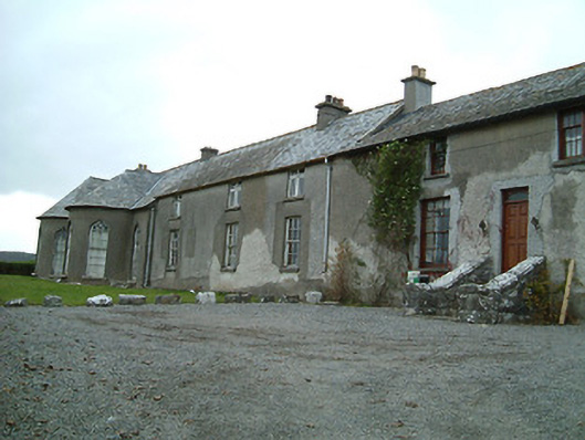 Dunmore Cottagehouse · 516 yd
 Enclosure in Dunmore WestEnclosure · 527 yd
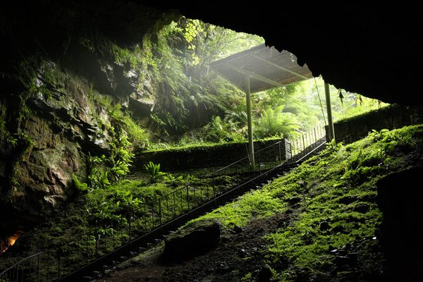 Enclosure in Dunmore (fassidinin By.)Enclosure · 726 yd
 Castle (in ruins)Castle, unclassified · 1208 yd
 Rock WoodWood · 1354 yd
 Catholic Church of the Most Holy Trinitychurch/chapel · 1548 yd
 Jack's HaggardWood · 1728 yd
 The RockCastle, ringwork · 1.3 mi
 Lady DesartMemorial · 1.7 mi
 Graveyard in ThreecastlesGraveyard · 2.3 mi
 Heritage Project Interpretation of the City Walls in Butler HouseVisitor information · 3.4 mi
 WelcomeVisitor information · 3.7 mi